
DJI Mavic 3M
DJI Mavic 3 Multispectral is specially designed to provide essential data for aerial surveying and agricultural production inspection. The DJI Mavic 3M features a multispectral camera system that includes a 20MP RGB camera for capturing optical photos and videos, along with four 5MP multispectral cameras capable of recording different wavelengths such as Green, Red, Red Edge, and Near-Infrared. Mavic 3M is highly useful for applications in agriculture, environmental management, and various other fields.
Select Version
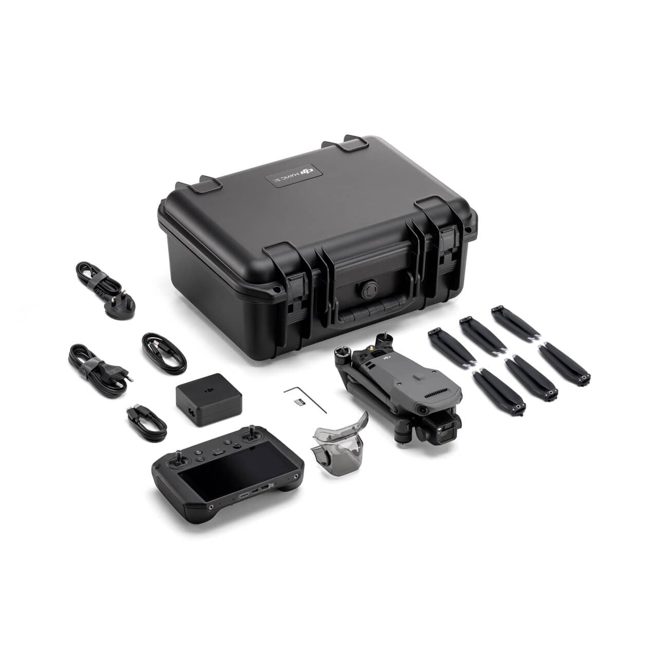
DJI Mavic 3E Worry-Free Basic Combo
DJI Mavic 3 Multispectral – See What the Human Eye Cannot
To conduct agricultural surveying effectively, it is essential to visualize the “invisible” aspects of crops. The DJI Mavic 3M is created precisely for that purpose: combining a high-resolution RGB camera with a multispectral imaging system to analyze crop conditions with exceptional accuracy. This solution delivers precise data, optimizes production efficiency, and supports smart agricultural management.
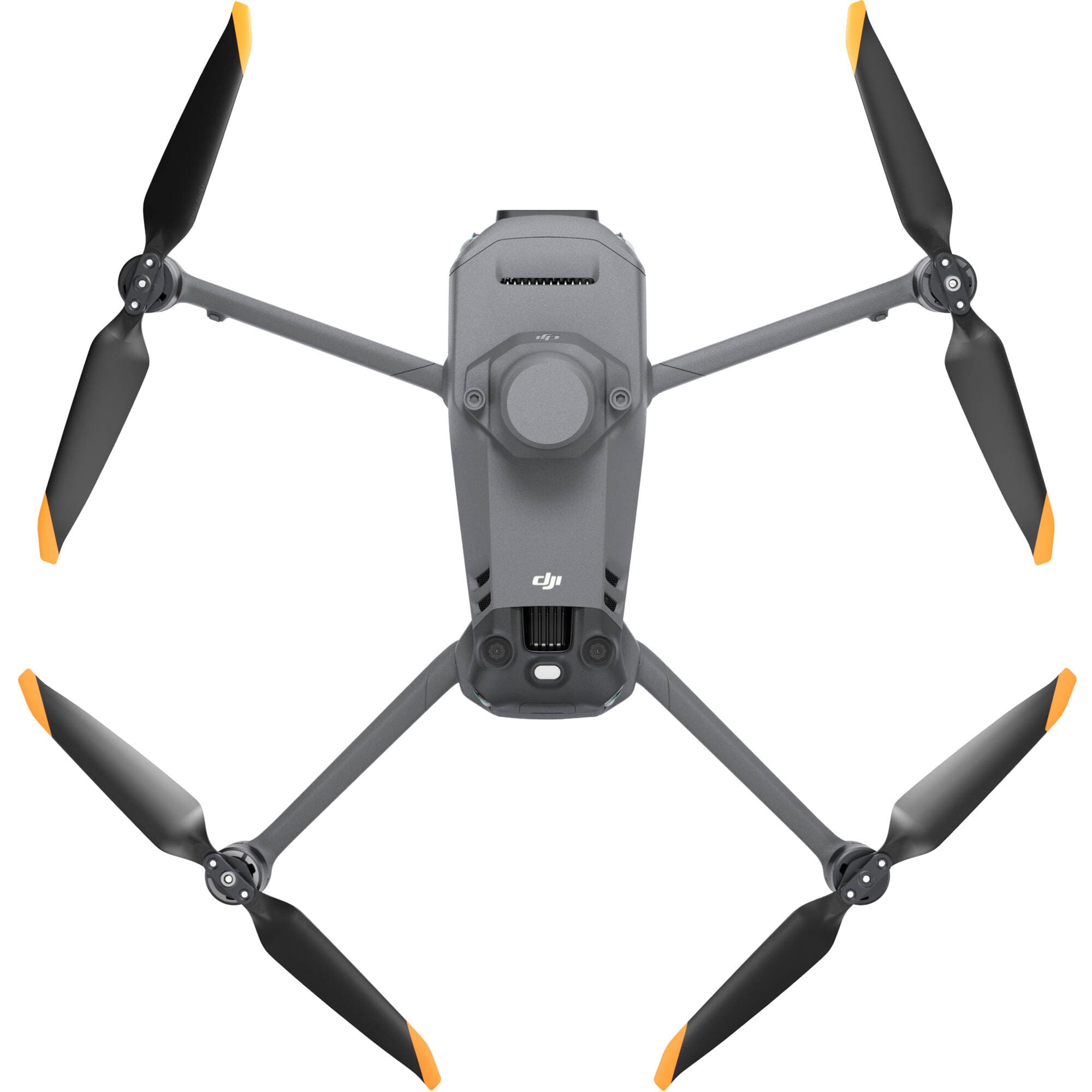
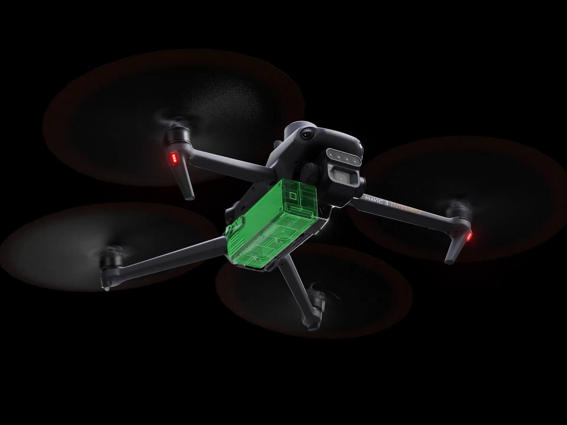
Compact Design – Flexible Foldable Structure
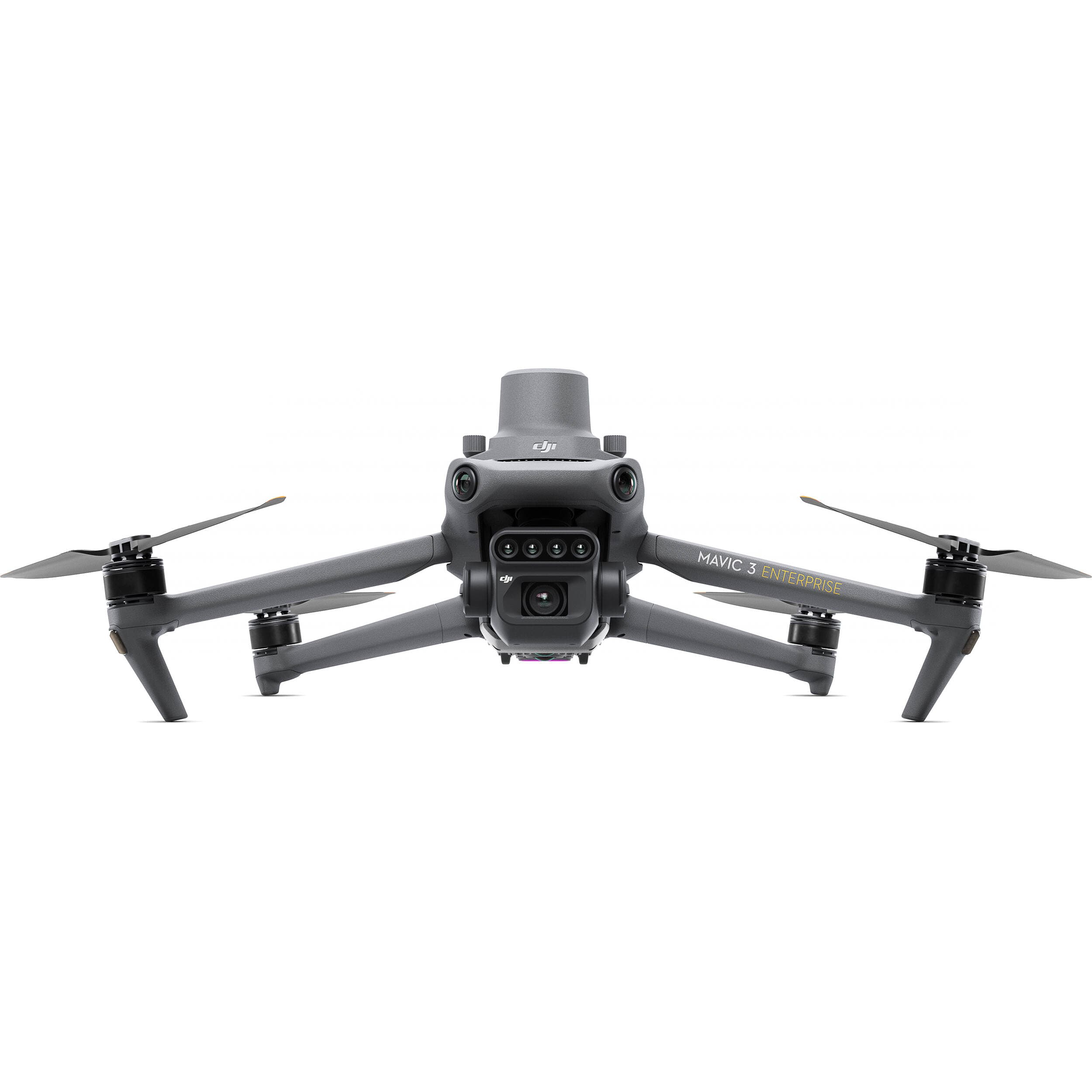
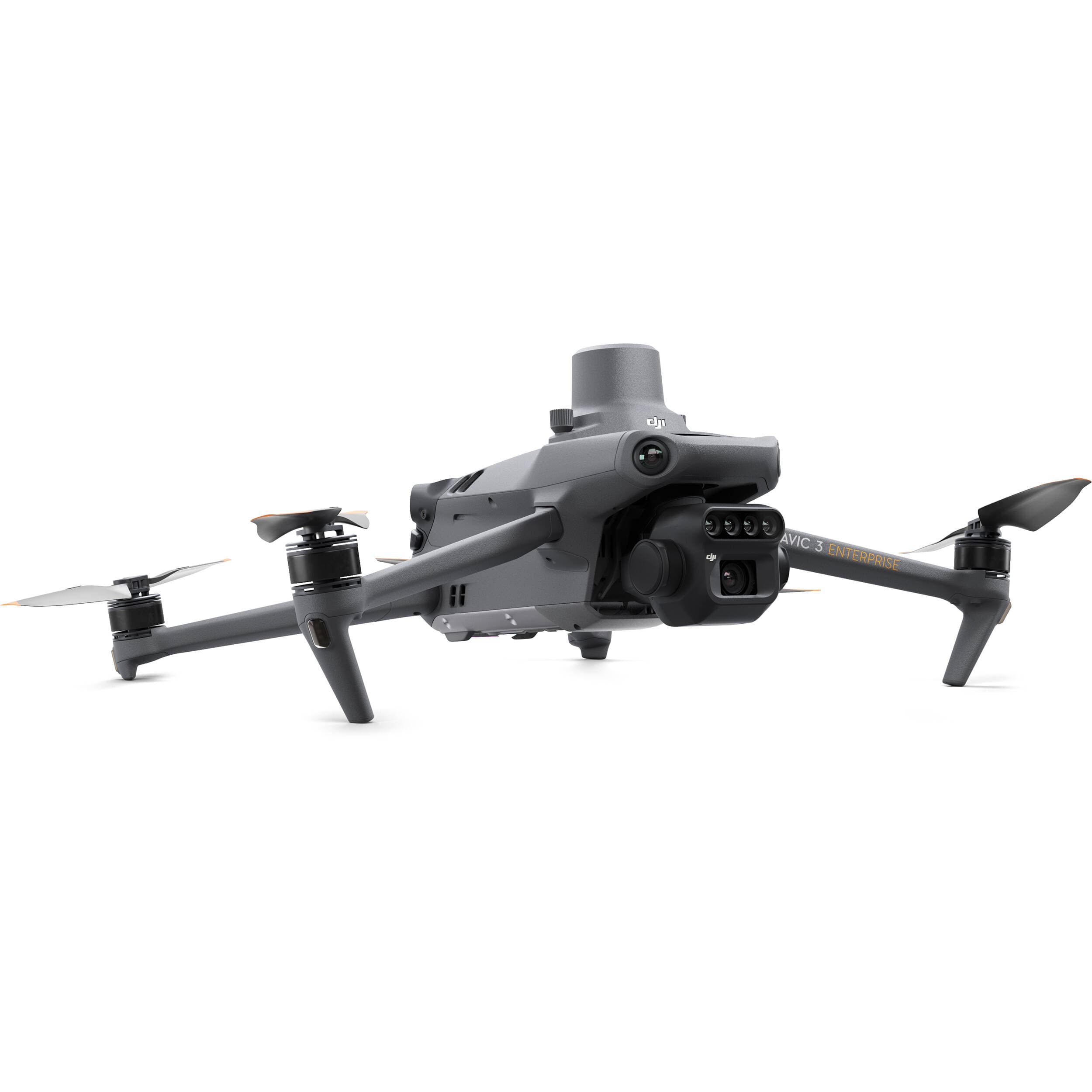
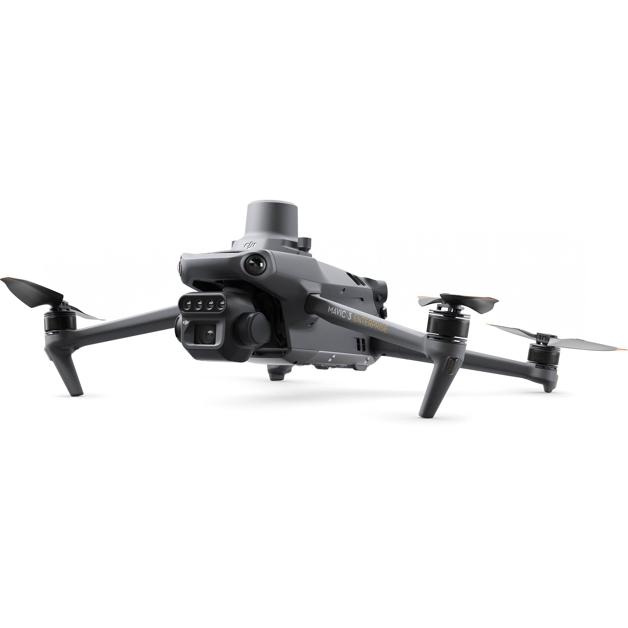
The Mavic 3M is lightweight, with a foldable body that makes it easy to move between survey areas. The optimized design enables quick operation and immediate deployment in the field.
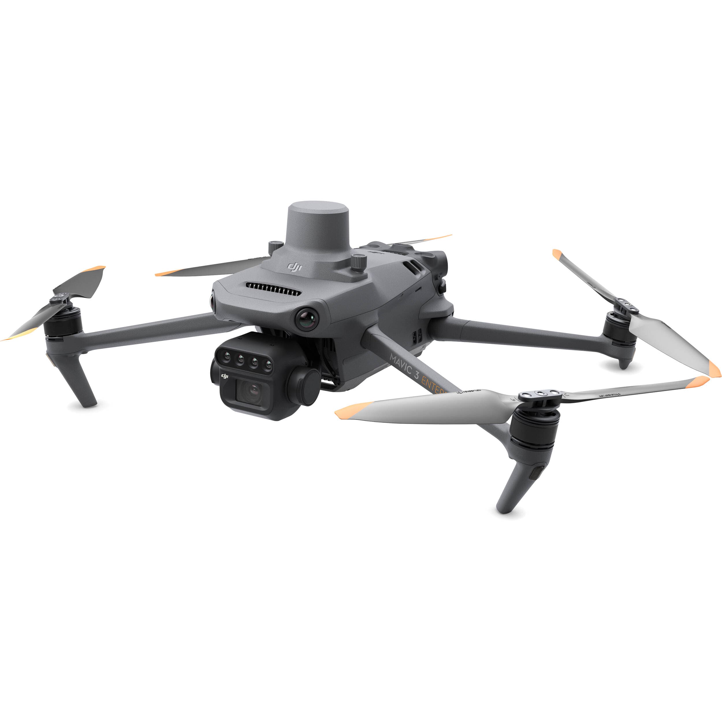
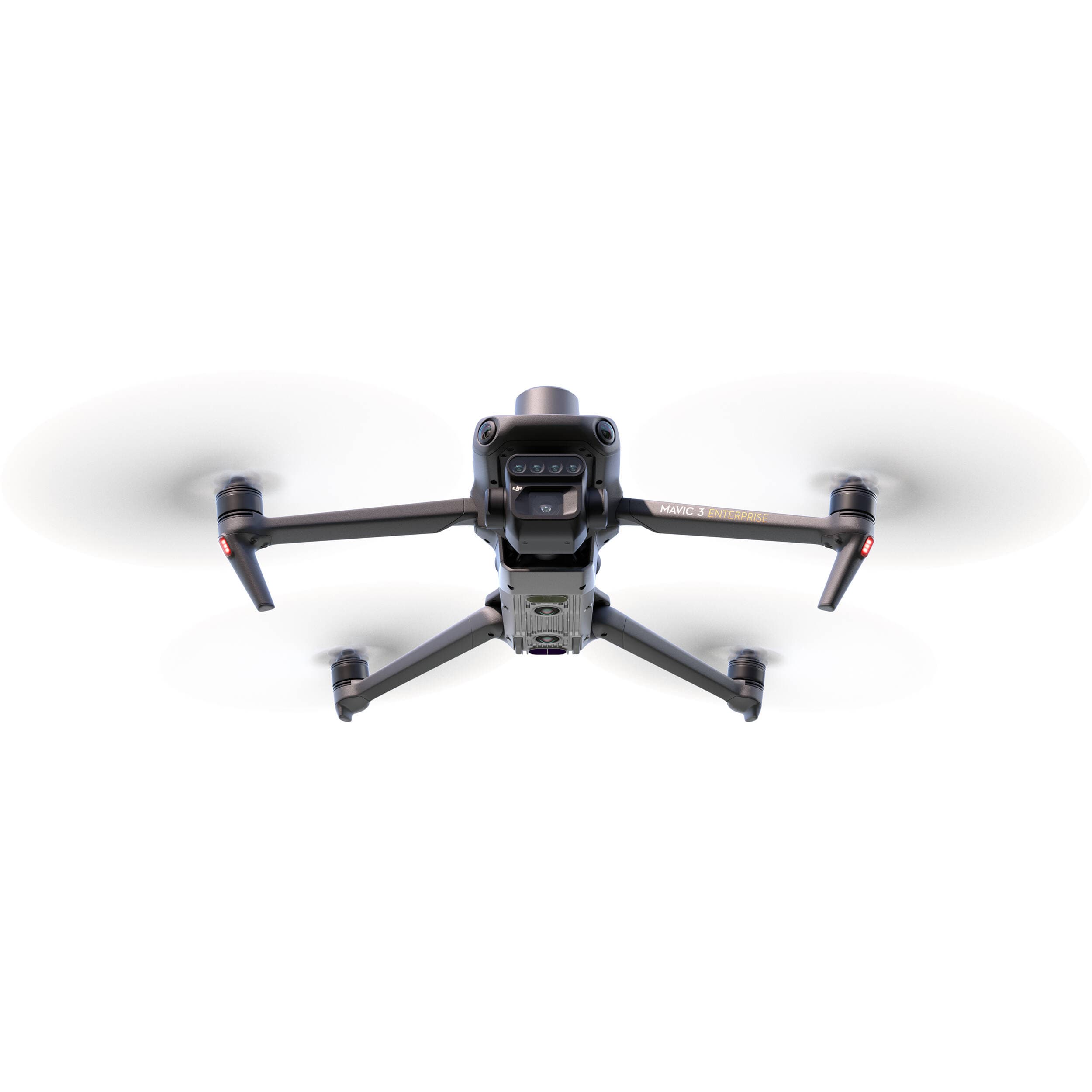
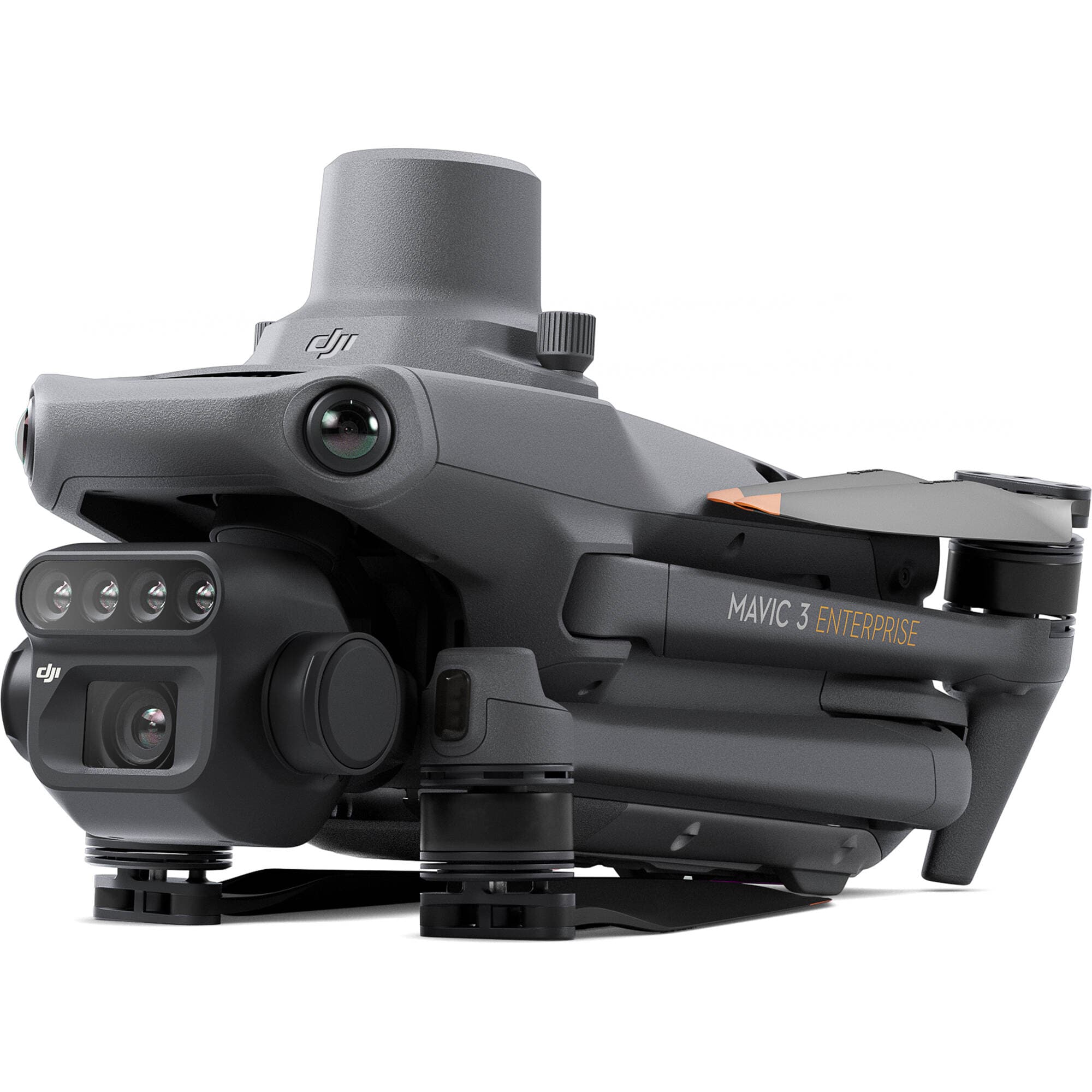
Dual-Camera System: Multispectral + RGB
4×5MP Multispectral Cameras
Equipped with 4 separate sensors:
G (Green): 560 nm ± 16 nm
R (Red): 650 nm ± 16 nm
RE (Red Edge): 730 nm ± 16 nm
NIR (Near-Infrared): 860 nm ± 26 nm
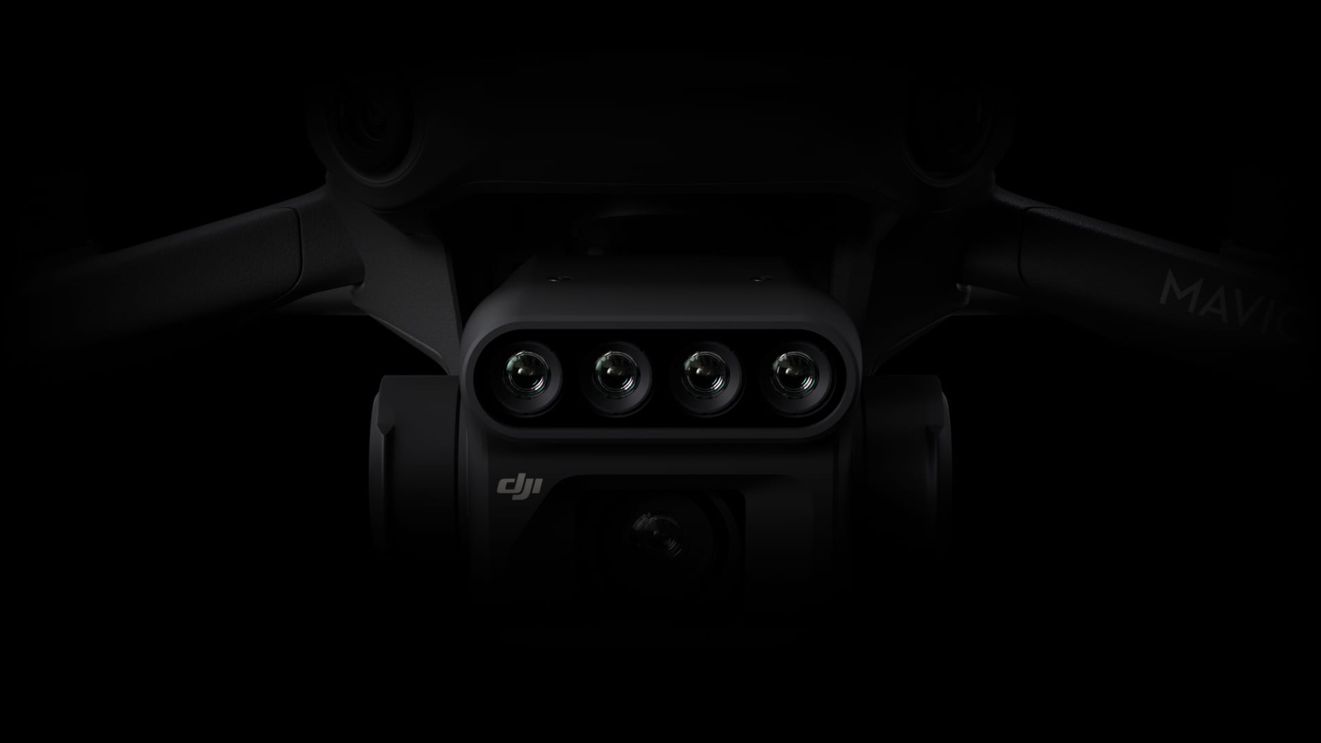
These spectral bands support growth analysis, NDVI generation, crop health monitoring, natural resource assessment, and many other specialized applications.
20MP RGB Camera
4/3-inch CMOS sensor
Mechanical shutter 1/2000s
High-speed continuous shooting at 0.7s intervals

It reproduces vivid colors and sharp details, ideal for mapping, surveying, and field management.
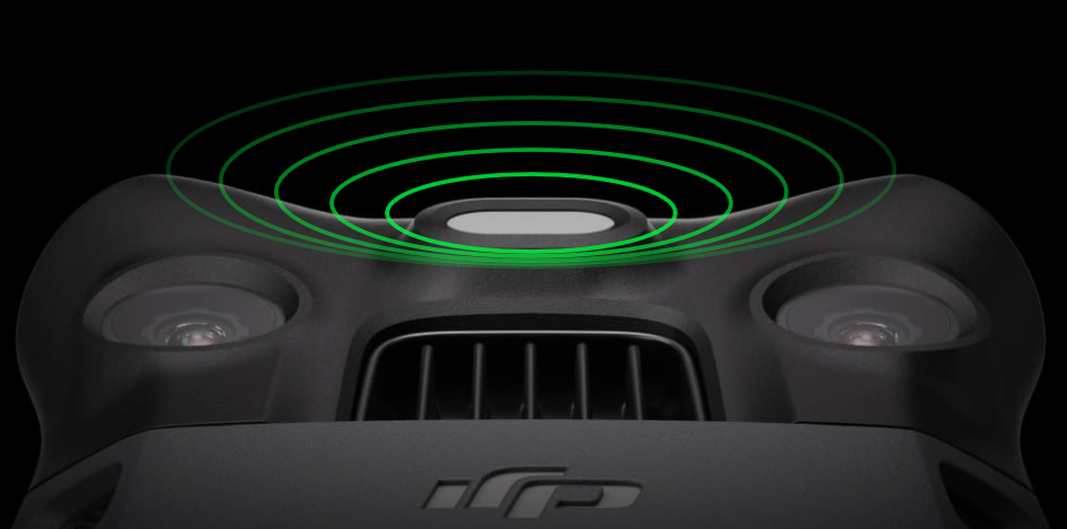
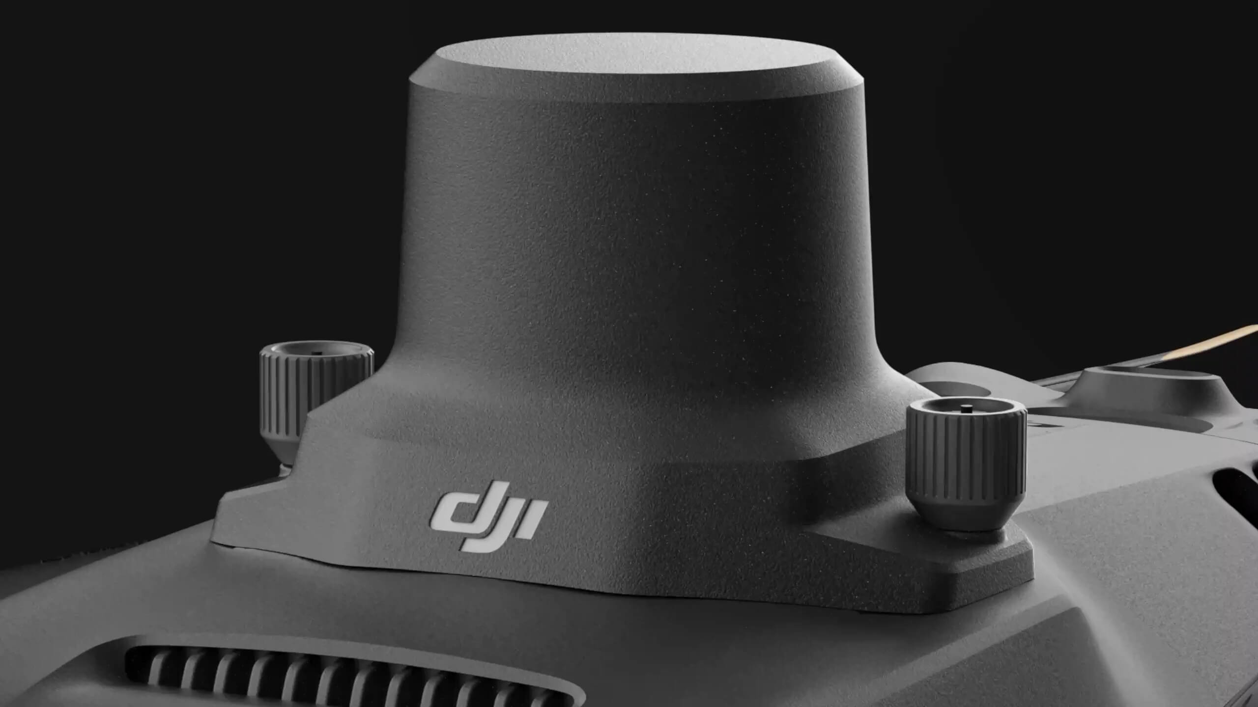
Integrated Sunlight Sensor
The sensor captures light intensity and embeds it into the image data, enabling light correction during 2D model processing. This enhances the accuracy and long-term consistency of NDVI and other vegetation maps.
Pixel-Level RTK Precision
Mavic 3M supports centimeter-level RTK positioning, synchronizing imaging, flight control, and sensors down to the microsecond. This allows precise surveying without the need for GCPs, significantly reducing survey time.
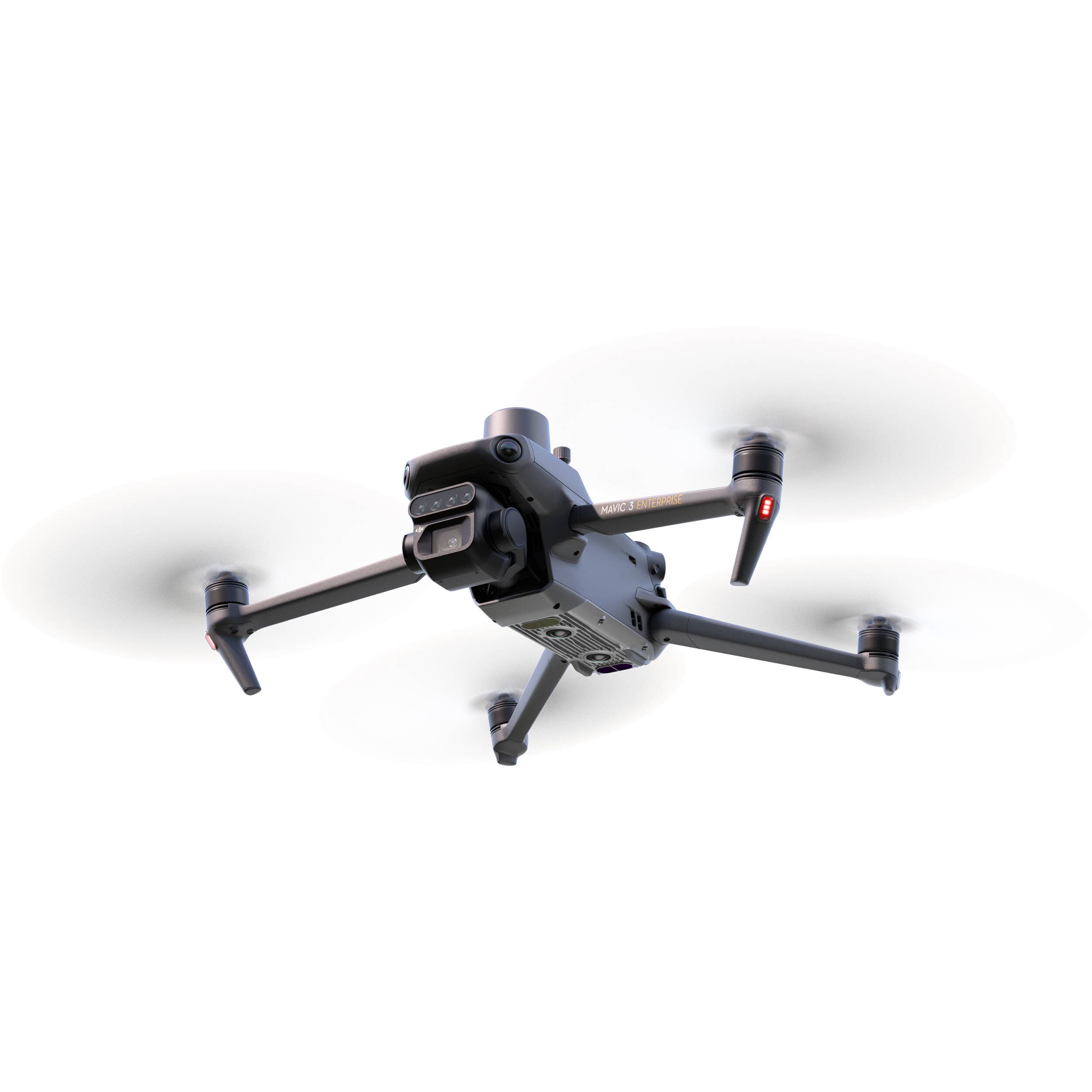
Powerful Flight Endurance
Up to 43 minutes of continuous flight
Covers up to 200 hectares in a single flight (depending on actual conditions)
The 100W multi-channel charging station and 88W fast charging for the drone optimize operational workflow.

Stable Long-Range Transmission
O3 Transmission technology with 2 transmitters and 4 receivers maintains smooth image connectivity at distances of up to 15 km (FCC standard).

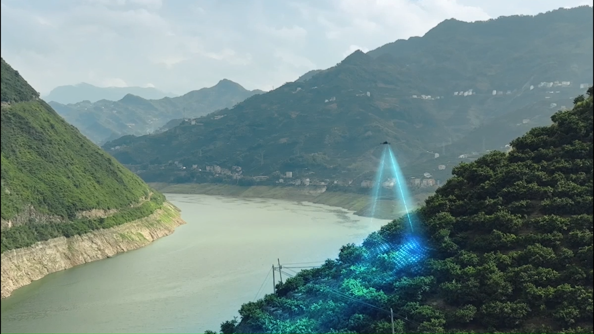
Omnidirectional Obstacle Avoidance & Terrain Following
The wide-angle sensing system enables the drone to:
Detect 360° obstacles
Follow terrain even with varying slopes
Increase safety in complex landscapes such as orchards, tea hills, terraced fields, and forests
Practical Applications
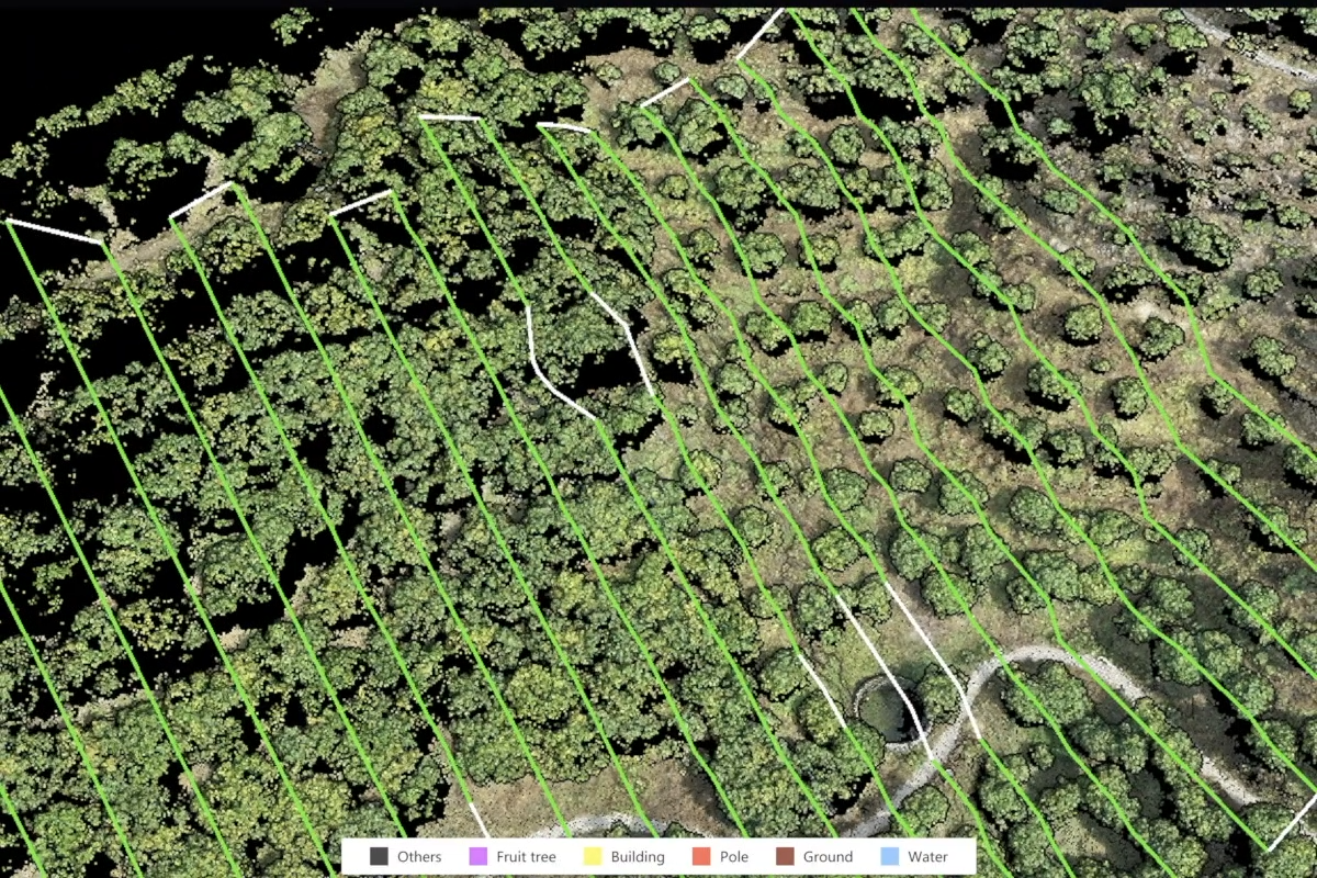
Mapping Orchards and Sloped Terrain
Used with DJI Terra or DJI SmartFarm Web to:
Create high-resolution 2D/3D maps
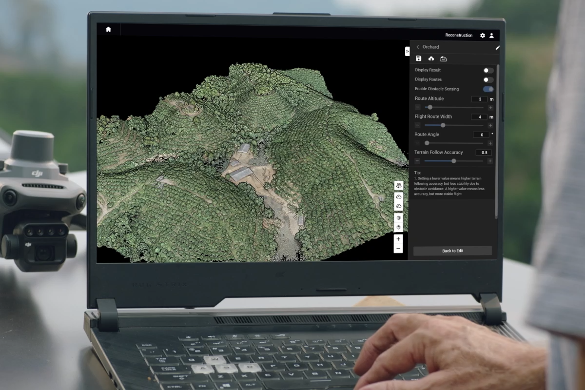
Identify individual trees and differentiate obstacles
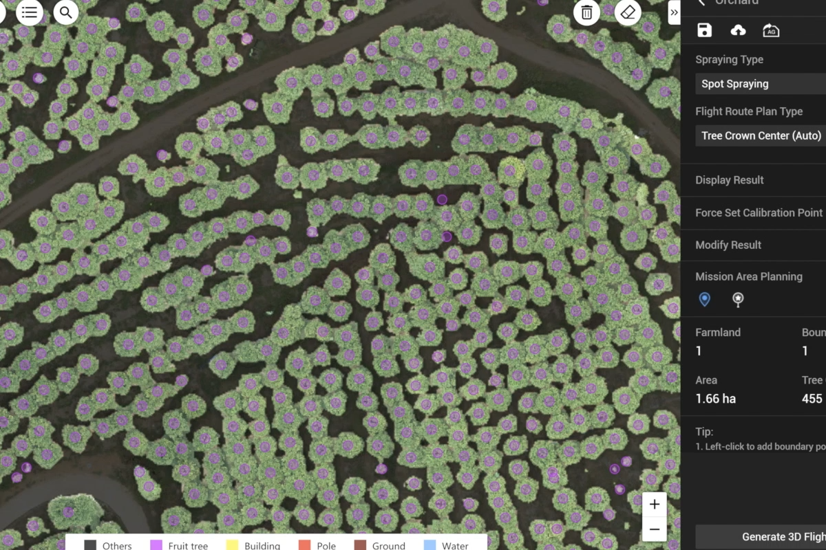
Automatically generate 3D flight routes for crop-spraying drones
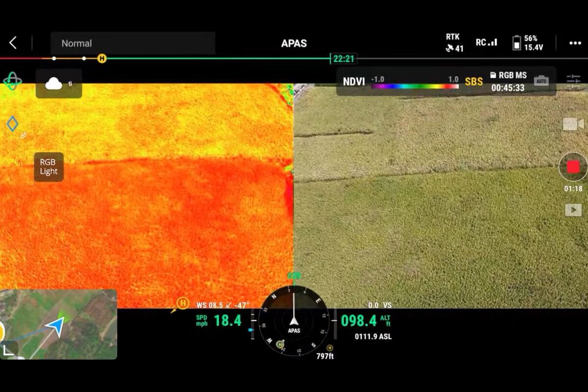
Variable Rate Application
The Mavic 3M is used to capture multispectral images of crops such as rice, cotton, and potatoes. Then, DJI Terra or DJI SmartFarm Web will:
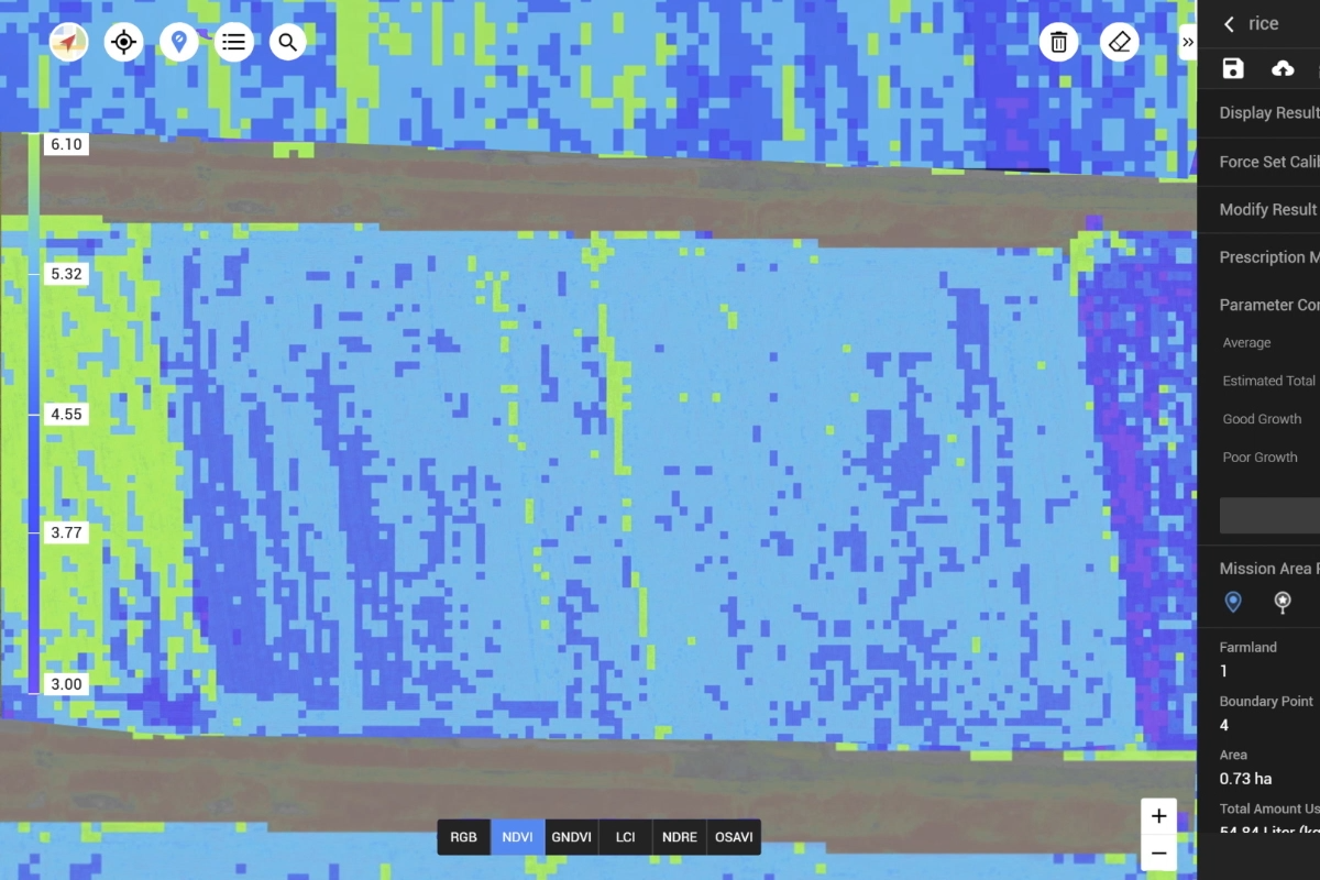
Generate vegetation index maps like NDVI and NDRE
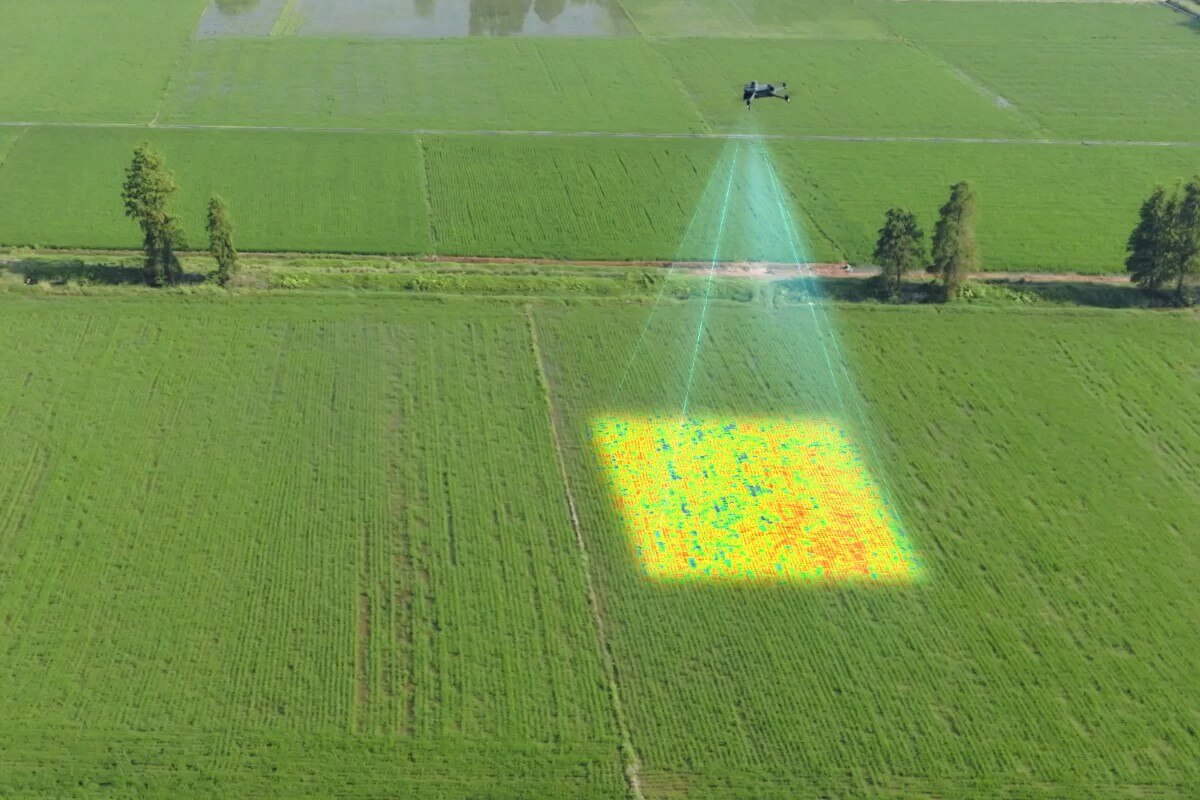
Analyze differences in growth potential between field areas
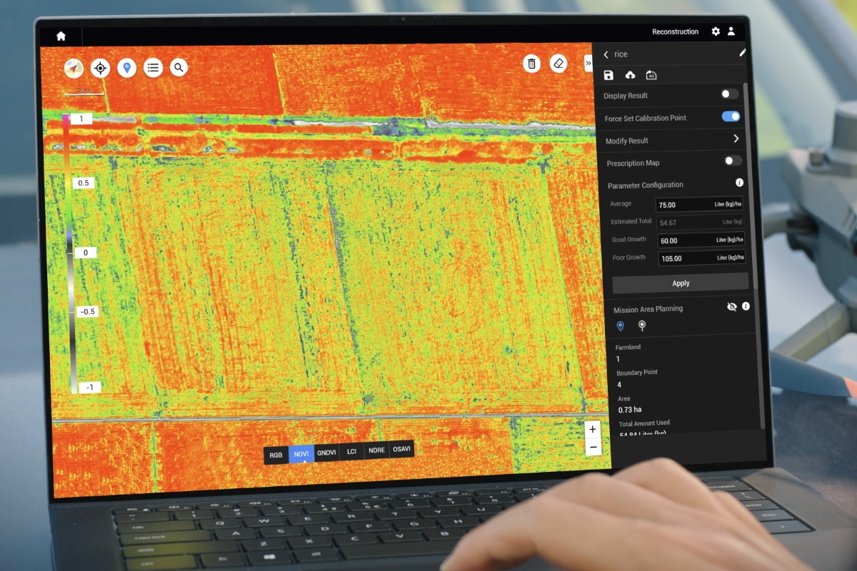
Automatically create prescription maps for pesticides or fertilizers
Synchronize with agricultural drones to conduct precise spraying or spreading by zone
This solution helps reduce costs, increase yields, and minimize environmental impact.
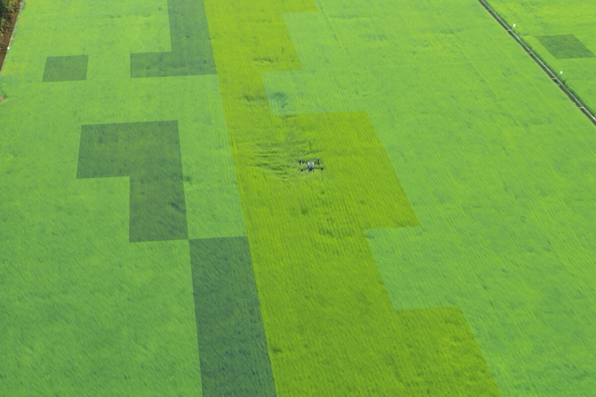
Smart Field Scouting
The Mavic 3M can automatically perform field scouting and transmit images directly to the DJI SmartFarm Web platform via a 4G network. The system supports the analysis of key information such as cotton seedling density and rice yield assessment, helping monitor crop growth in real time. As a result, users can make more accurate agronomic decisions and optimize production management. With this solution, a single person can effectively manage up to 70 hectares of farmland.
Environmental and Natural Resource Surveying
Suitable for:
Monitoring water sources and forests

Surveying urban green zones

Tracking vegetation degradation

Open Ecosystem – Ready for Integration
Cloud API: Direct connection to third-party platforms via MQTT protocol (no separate app required).
MSDK 5 (open-source): Supports custom application development for surveying, patrolling, monitoring, and more.


