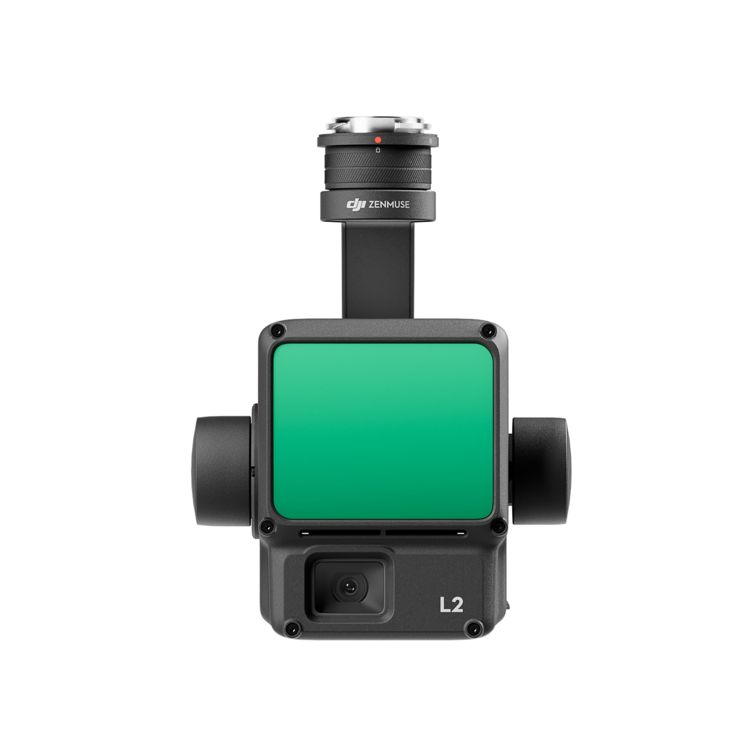
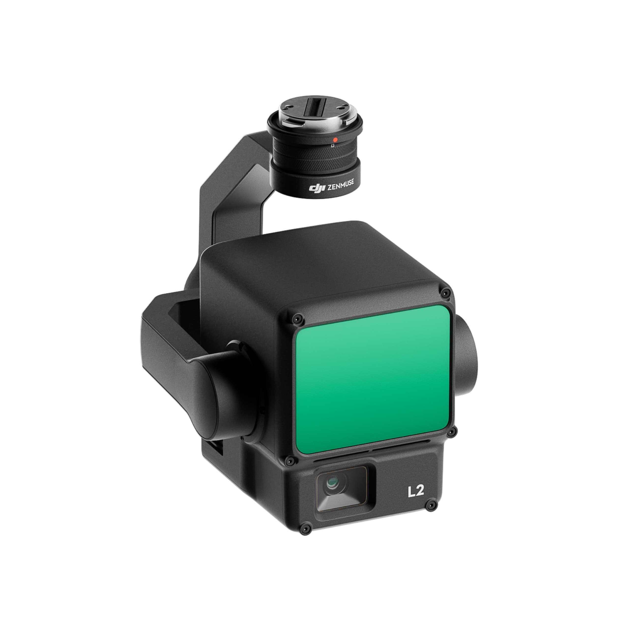
Zenmuse L2
Zenmuse L2 integrates a frame-based LiDAR system, a high-performance DJI-developed IMU, and a 4/3" RGB mapping camera, all mounted on a 3-axis gimbal. Thanks to this integrated design, the L2 delivers accurate, fast, and reliable geospatial data acquisition for DJI aerial platforms.
DJI Zenmuse L2LiDAR + RGB Integration in a Single Module
High Accuracy – Instant Activation
Zenmuse L2 integrates a high-precision IMU and a powerful GNSS system, delivering absolute positional and angular accuracy without requiring a “warm-up” period. The system is ready to operate immediately after powering on, significantly reducing preparation time before each flight mission.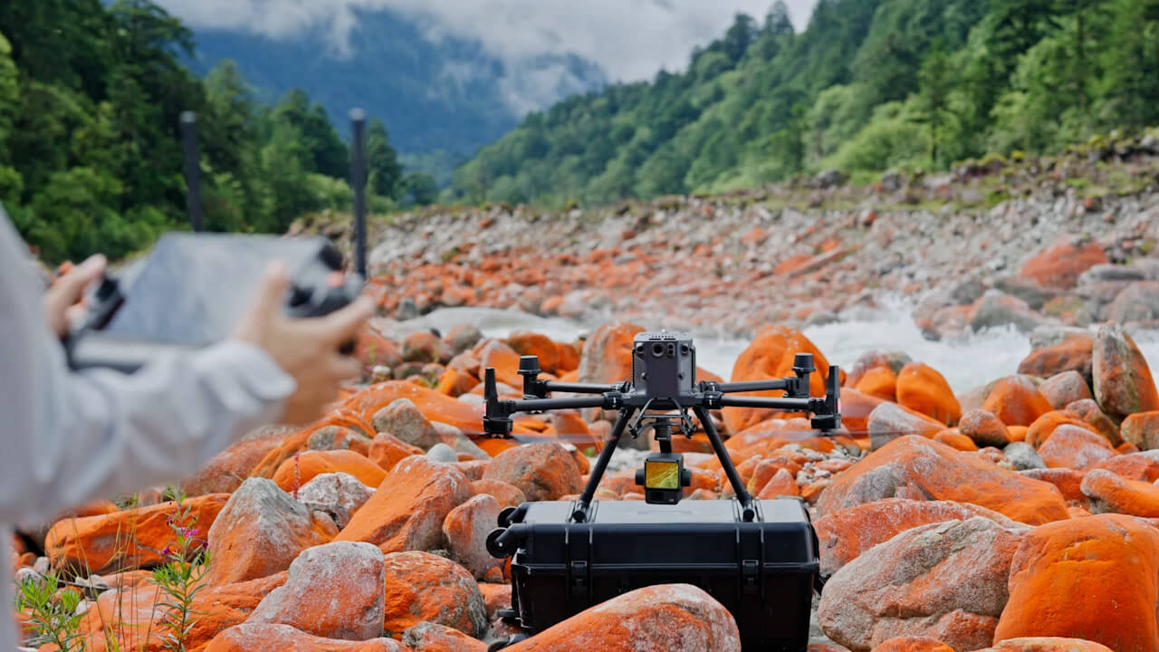
Extended Detection Range & High Point Cloud Rate
Zenmuse L2 can detect objects up to 450 meters away with 50% reflectivity in low-light conditions (0 klx), or 250 meters under bright or low-reflectivity environments (10%, 100 klx).
The LiDAR supports a high point cloud rate of up to 240,000 points per second, ensuring rapid and detailed data acquisition.

Superior Accuracy & Multiple Return Modes
At an altitude of 150 meters, Zenmuse L2 achieves a horizontal accuracy of approximately 5 cm and a vertical accuracy of around 4 cm.
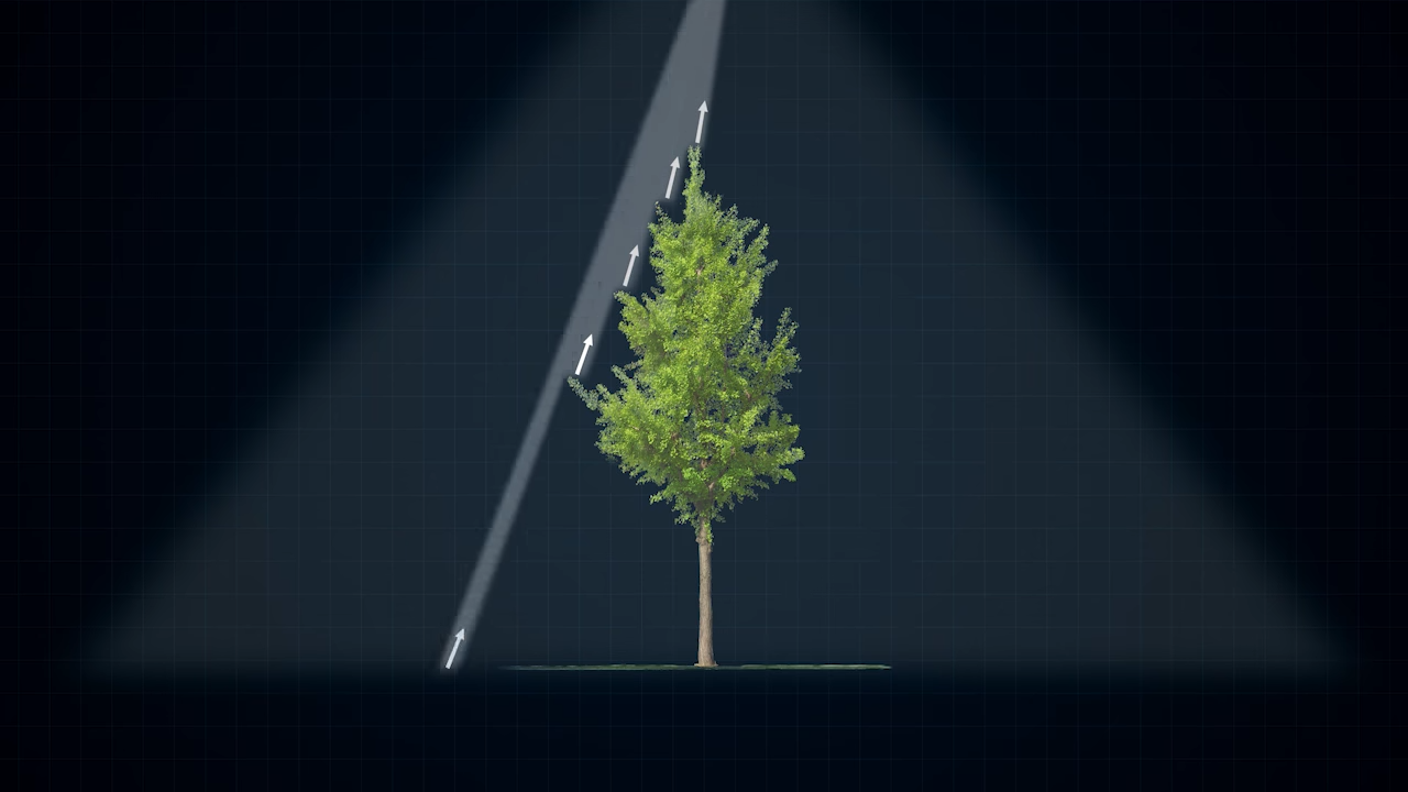
It supports up to 5 return types (single, dual, triple, quad, penta), enabling deep penetration through vegetation canopies to accurately capture underlying terrain and structures.
High-Quality RGB Mapping Camera
The integrated 4/3” RGB camera sensor works in tandem with the LiDAR to generate colored point clouds.
The camera captures 20 MP still images, supports high-speed interval shooting, and records 4K video, providing rich visual data alongside LiDAR measurements.
Real-Time Observation & On-Site Processing
The Point Cloud LiveView feature allows real-time visualization of point cloud data, enabling operators to monitor collection progress and data quality directly in the field.
When paired with DJI Terra software, users can perform one-click automated processing to generate 3D maps, Digital Elevation Models (DEM), and quality reports effortlessly.
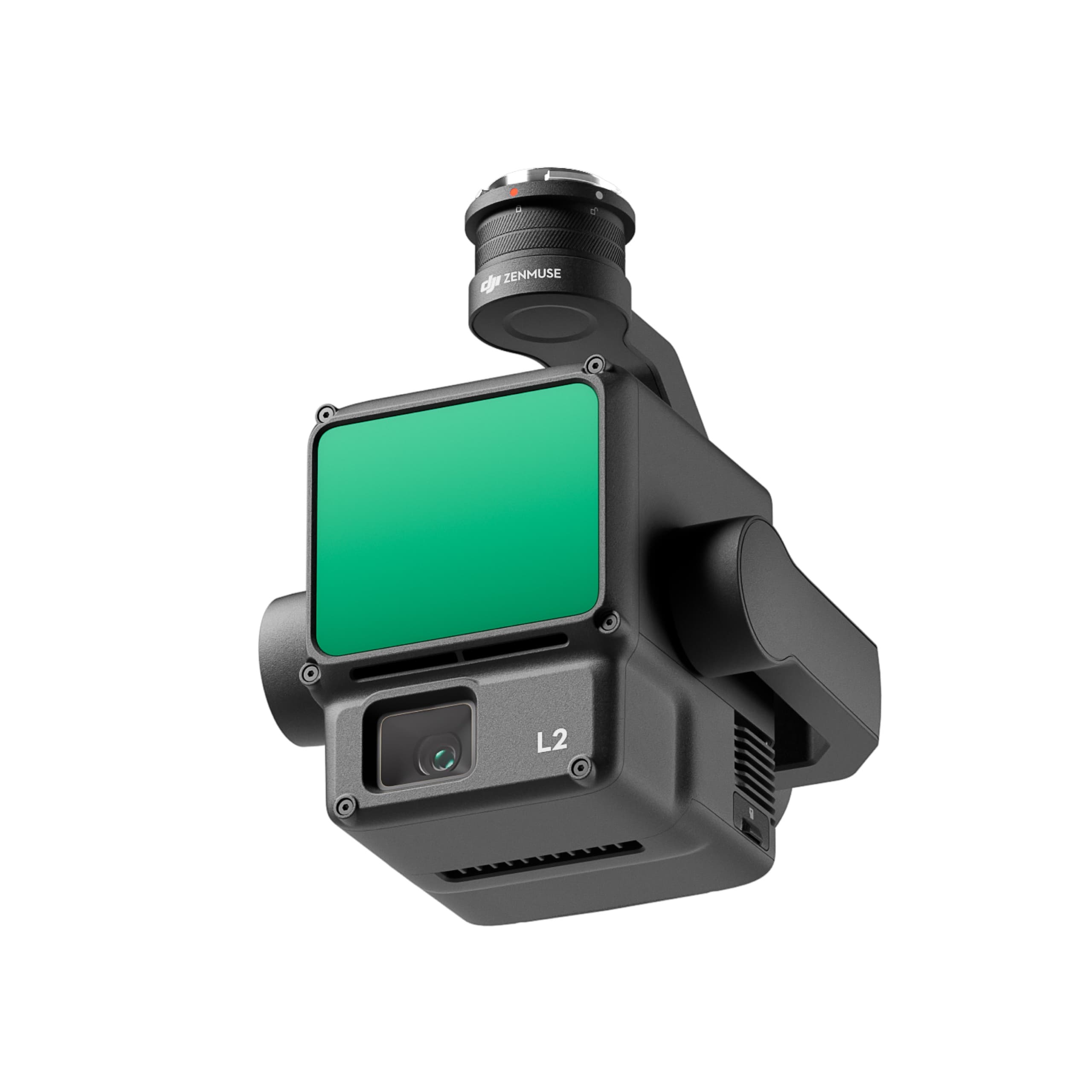
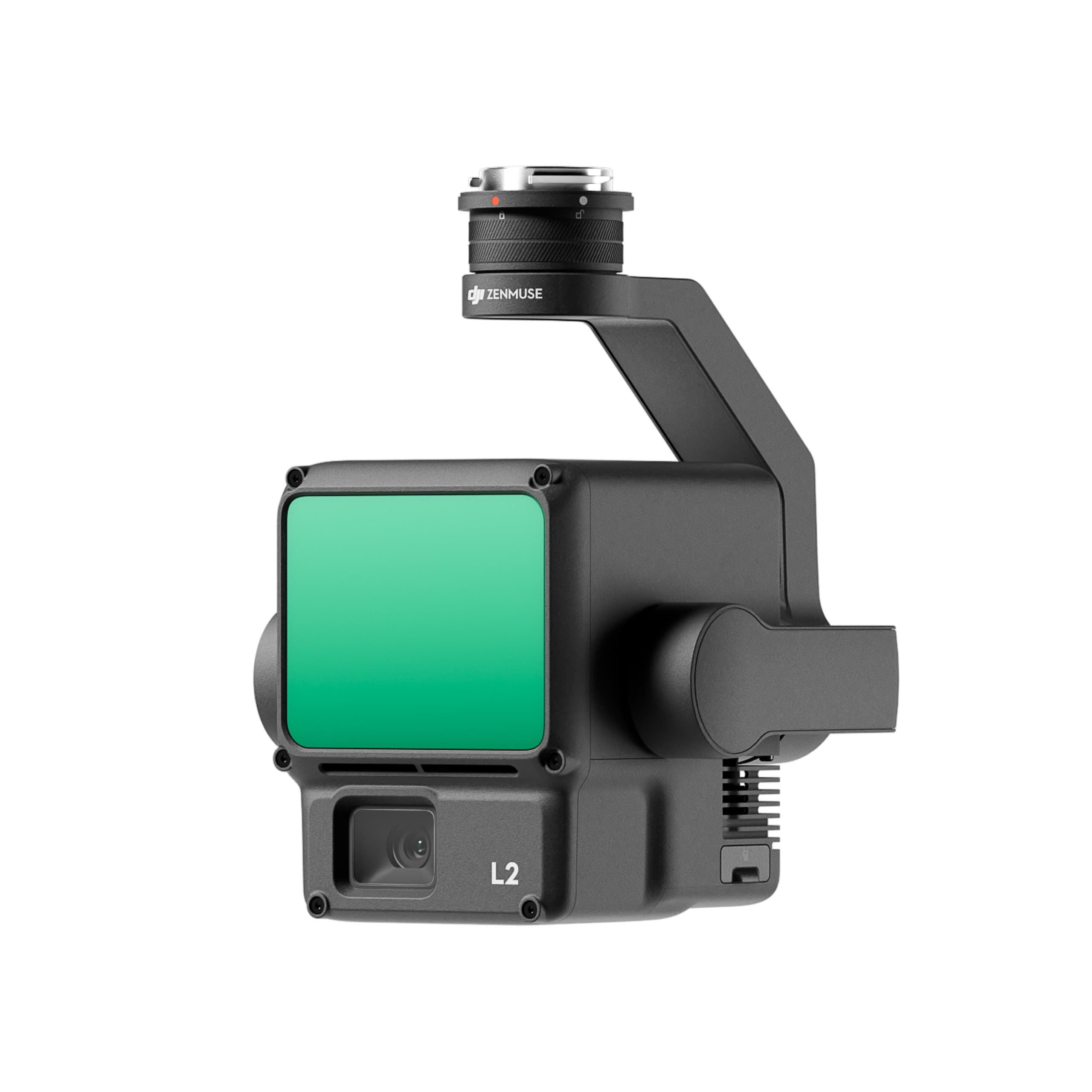
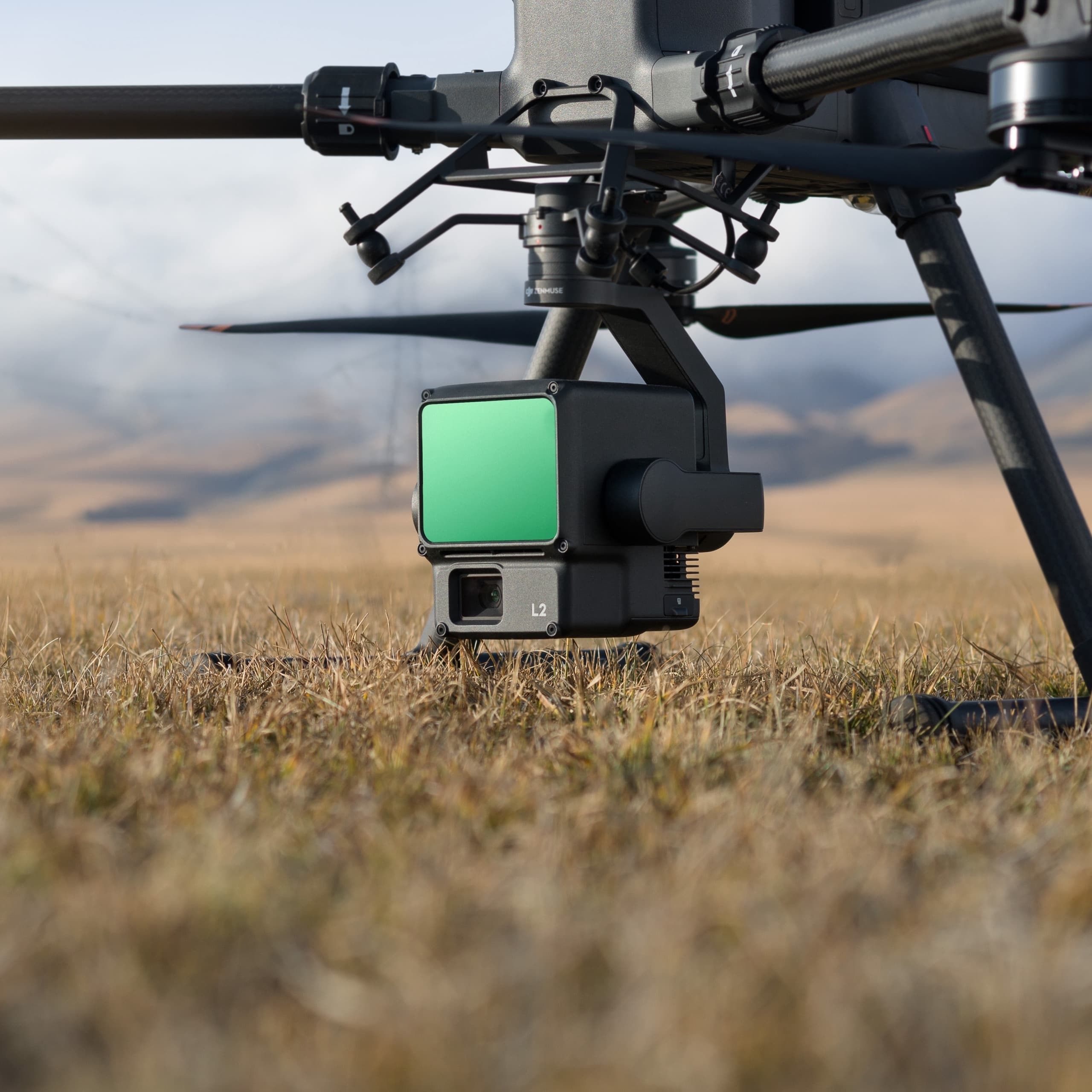
3-Axis Gimbal & Enhanced Stability
Mounted on a 3-axis gimbal (tilt, roll, pan), Zenmuse L2 ensures stable image and LiDAR data capture during flight and directional changes.
Mechanical and electronic control angles are optimized to keep both the LiDAR and RGB camera precisely oriented toward the target throughout the mission.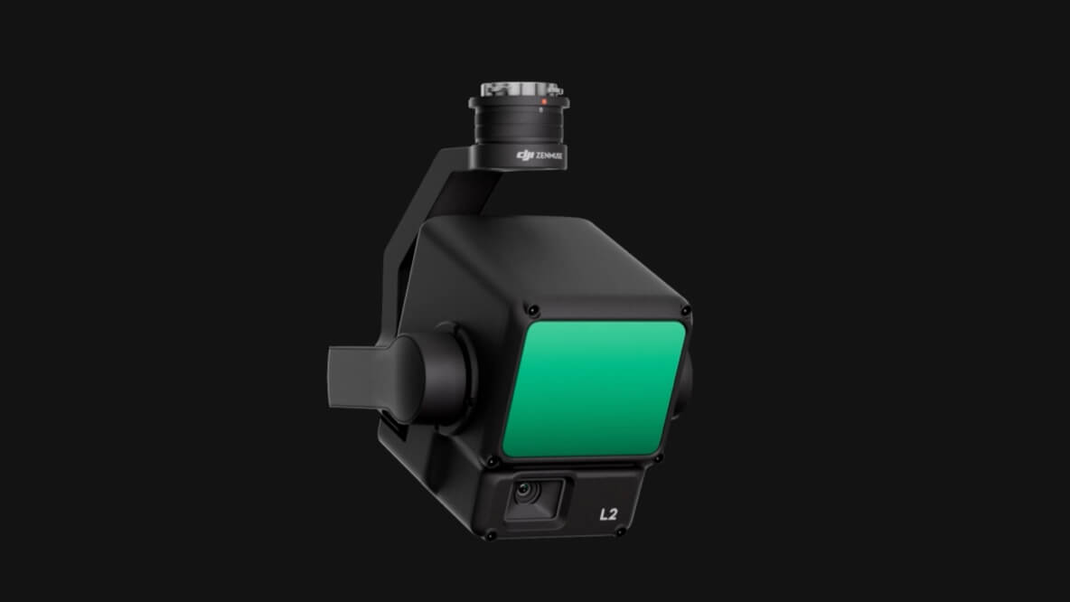
Robust Design, Lightweight & Efficient Power Usage
Dimensions: 155 × 128 × 176 mm (L × W × H)
Weight: 905 ± 5 g
Power Consumption: Approximately 28 W (typical), up to 58 W at peak performance
The compact yet durable build ensures stability and reliability, even under demanding flight conditions.
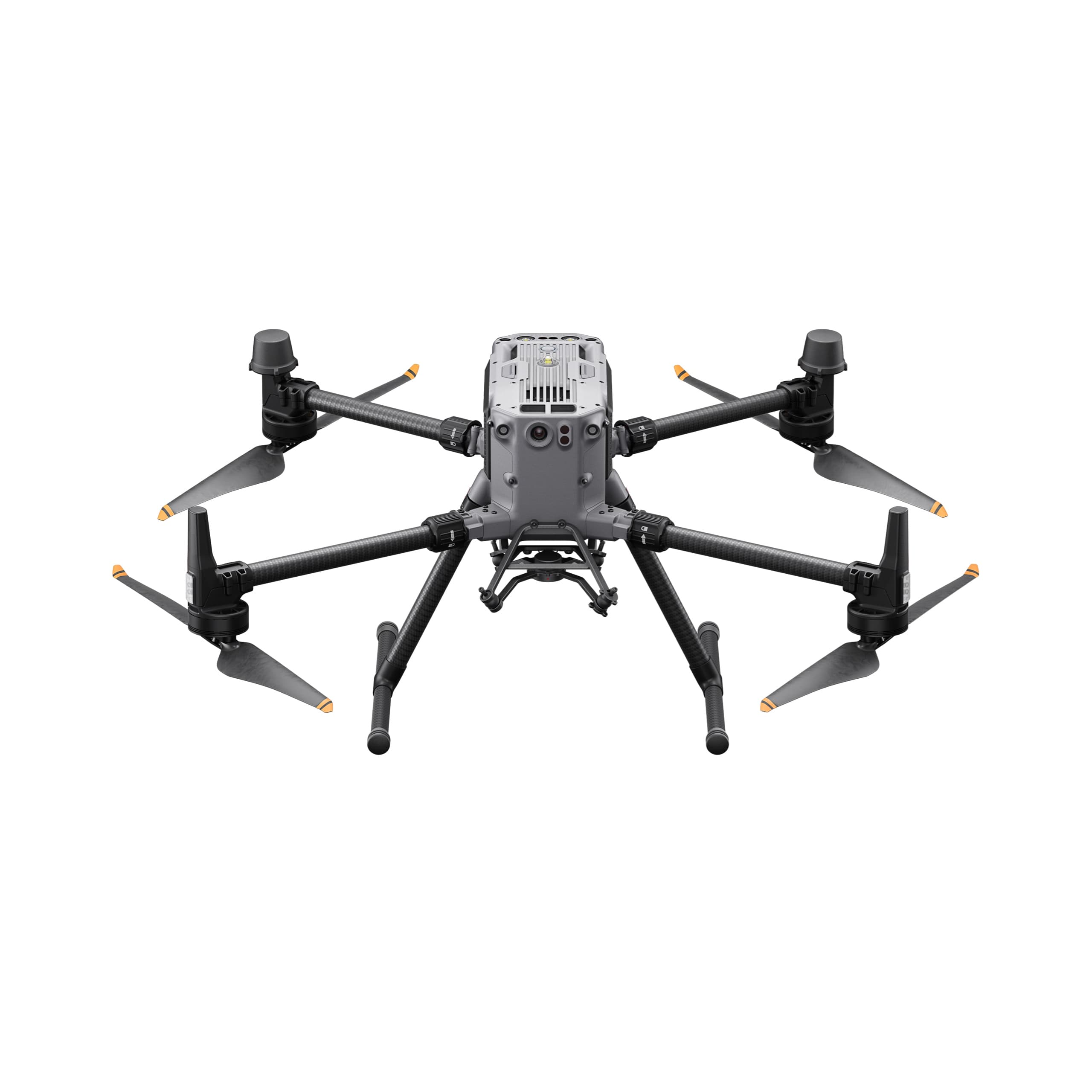
Drone Compatibility & DJI Ecosystem Integration
Zenmuse L2 is fully compatible with DJI’s professional drone platforms such as Matrice 300 RTK (requires DJI RC Plus) and Matrice 350 RTK.
When integrated with DJI Terra, the L2 provides a complete end-to-end solution for 3D data acquisition and post-processing, empowering professionals in surveying, mapping, and inspection.