Disaster Prevention and Response
Harness the power of drones to capture critical visual and thermal data, enhancing prevention strategies and response tactics during natural disasters, including floods, landslides, earthquakes, and more.
Disadvantages
Advantages
Solution
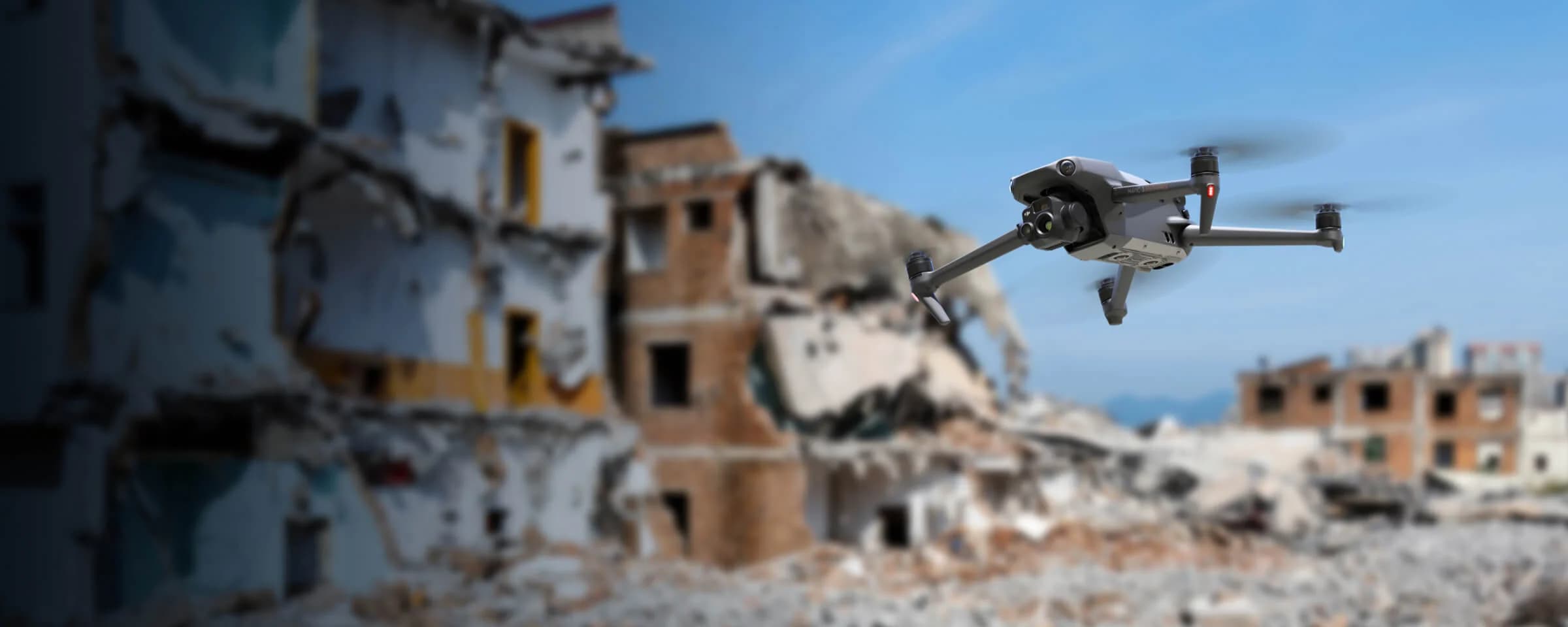
Portable Thermal
The Mavic 3T offers unparalleled portability and thermal capabilities for rescue teams. Easy to carry and equipped with visual and thermal cameras, it provides quick aerial support when time matters the most. Livestream the aerial feed to command centers through DJI FlightHub 2 for enhanced cross-team collaboration.
Compact and lightweight design, less than 1kg and easy to carry in the response vehicle.
Fast and easy deployment, get airborne in around 30 seconds.
640 × 512 thermal radiometric sensor for accurate temperature readings.
Thermal palettes and temperature measurement tools for easy data interpretation.


Portable Pre and Post Disaster Mapping
The DJI Mavic 3E is a portable surveying and mapping drone suitable for single-pilot operations. Paired with DJI Terra, it can generate accurate 2D and 3D models that can be used for prevention or post-disaster efforts.
Portable solution, easy to carry and deploy.
Centimeter-level data thanks to its mechanical shutter and RTK capability.
Field-work efficiency—covers 2 km² per flight.
Real-Time Terrain Follow feature to ensure high-quality data capture in challenging and variable terrains.