

.jpg&w=3840&q=75)
DJI Matrice 4T
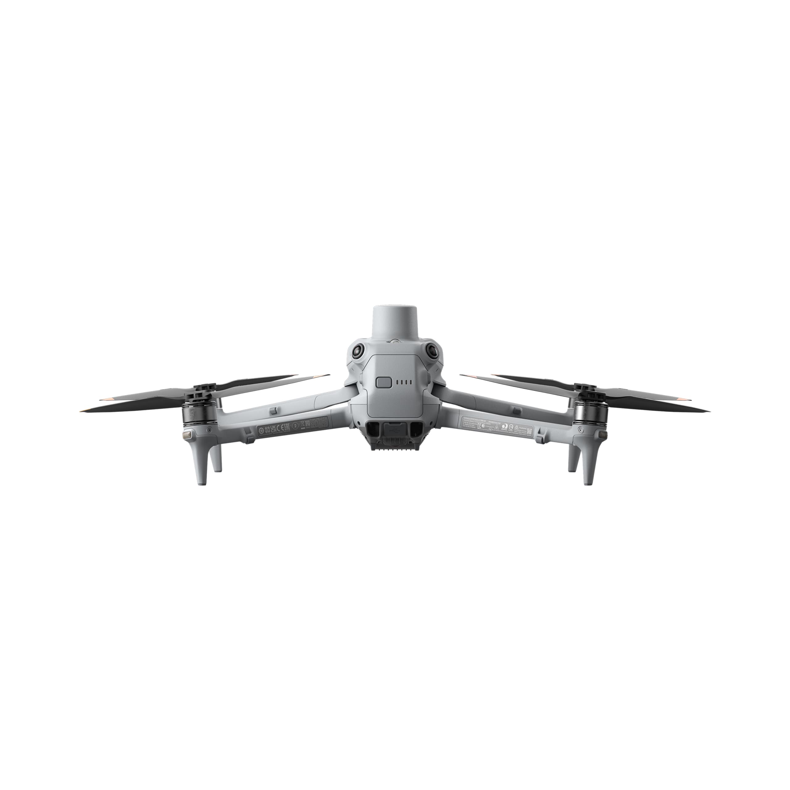
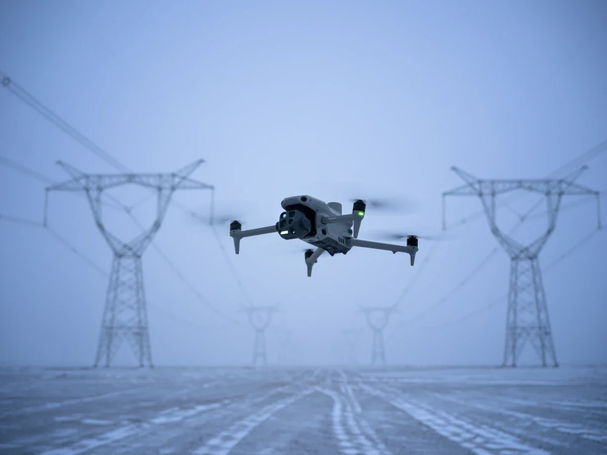
The DJI Matrice 4T marks a new era of professional aerial operations with its compact design, multi-sensor system, and intelligent laser measurement capabilities. Optimized for industries such as power inspection, emergency response, public safety, and forest conservation, the Matrice 4T delivers exceptional stability, safety, and precision — ready to take on any aerial monitoring or operational mission.
Select Version
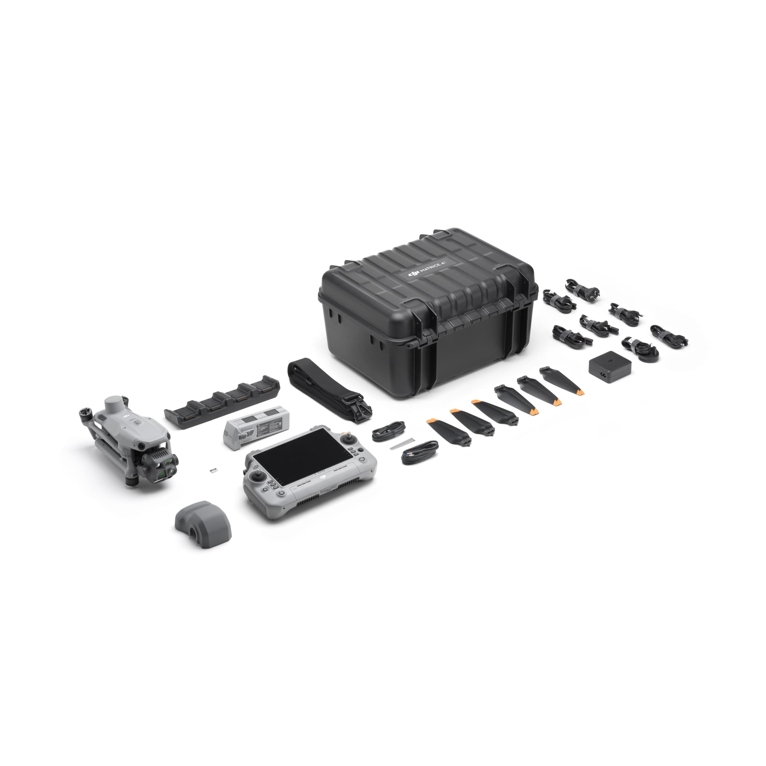
DJI Matrice 4T Plus Combo
In industrial inspection as well as search-and-rescue operations, balancing mobility with operational performance has always been a major challenge. The DJI Matrice 4T is introduced as a comprehensive solution to this challenge.
As a member of the Matrice 4 Series (M4 Series), the Matrice 4T not only inherits stable and durable flight performance but is also equipped with a multi-sensor system integrated with a dedicated thermal camera. This makes it a powerful tool for engineers, rescue teams, and project managers to collect accurate aerial data while minimizing the need for direct human access to potentially hazardous areas.
For highly specialized missions, technical specifications play a critical role in evaluating operational capability. Despite weighing just over 1.2 kg, the Matrice 4T delivers an impressive flight time of up to approximately 50 minutes, optimizing airborne working time and reducing the number of landings required for battery replacement during large-scale survey missions.
Key Features of the DJI Matrice 4T Drone
More than just a conventional drone, the Matrice 4T operates as a mobile data acquisition station equipped with a range of advanced technologies.
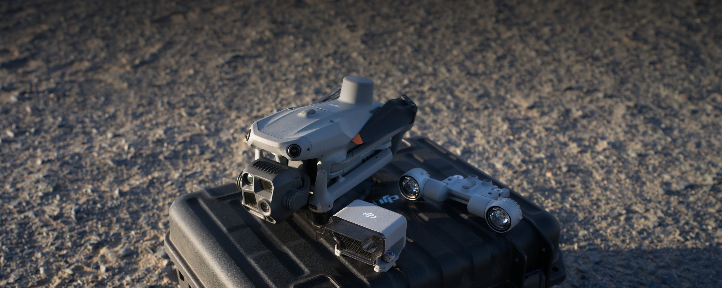
Multi-Sensor System and Flexible Camera Array

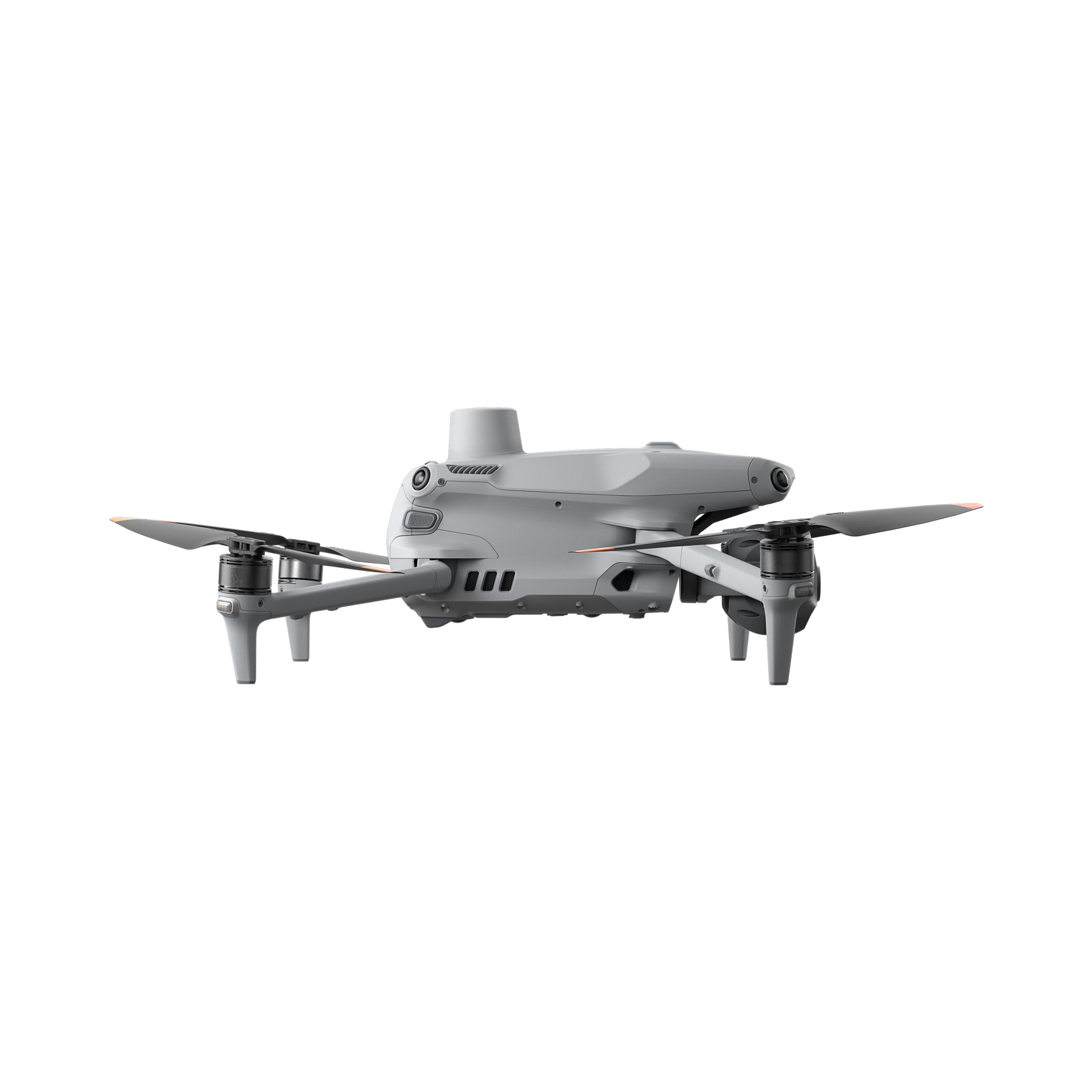
A common limitation of previous compact drone models was the degradation of image quality when zooming, often resulting in noise or pixelation. The Matrice 4T overcomes this limitation with a dual-camera system consisting of:
Wide-angle camera: Designed for overall area observation and wide-field scanning.
Dual telephoto cameras (70 mm and 168 mm): Enable detailed inspection of small objects—such as bolts on power poles or surface cracks—from a safe distance, while maintaining high resolution of up to 48 MP.
Advanced Thermal Imaging Technology
The thermal camera on the Matrice 4T uses a VOx sensor with a resolution of 640 × 512, capturing infrared radiation and converting it into intuitive thermal images.
Practical applications: Detecting heat sources in low-light conditions, such as locating missing persons, identifying smoldering fires, or detecting abnormal temperature points on electrical equipment.
Support features: Enables spot temperature measurement (Spot Meter) and area temperature measurement (Area Measurement) directly on the controller screen.
High-Precision Laser Range Finder Module
The drone is equipped with an integrated laser range finder capable of measuring distances of up to 1,800 meters. When combined with GPS data, the system can accurately determine the coordinates of target objects, providing strong support for surveying, target designation, and rescue operations.
Practical Applications of the DJI Matrice 4T
According to reports from technical inspection units and rescue teams, the Matrice 4T demonstrates exceptional effectiveness across multiple fields.
Search and Rescue (SAR) and Public Safety
During nighttime search missions in forests, mountainous areas, or waterways, the human eye and standard cameras are largely ineffective.
Solution: Thermal imaging cameras scan wide areas and detect temperature differences between the human body and the surrounding environment.
Outcome: Search time is significantly reduced—from several hours to just tens of minutes—thereby greatly improving the chances of saving victims’ lives.
Energy and Infrastructure Inspection
In the power and oil & gas industries, manual inspection through climbing poses significant safety risks.
Power sector: Early detection of “hotspots” (overheating points) on solar panels or high-voltage power line connections.
Oil and gas sector: Thermal imaging enables early identification of gas or liquid leaks by detecting temperature changes on pipeline surfaces that are invisible to the naked eye.
Terrain and Environmental Surveying
Surveying engineers use the Matrice 4T to quickly generate 2D maps. The laser module allows precise distance measurements between reference points in challenging terrain—such as cliffs or across rivers—without requiring personnel to physically access the measurement locations.


