Awareness situation
Collecting intelligence from the air about the situation that is taking place through high quality images in real time, supporting underground teams and improving the efficiency of decision making.
Disadvantages
Advantages
Solution
The reaction from the air is flexible
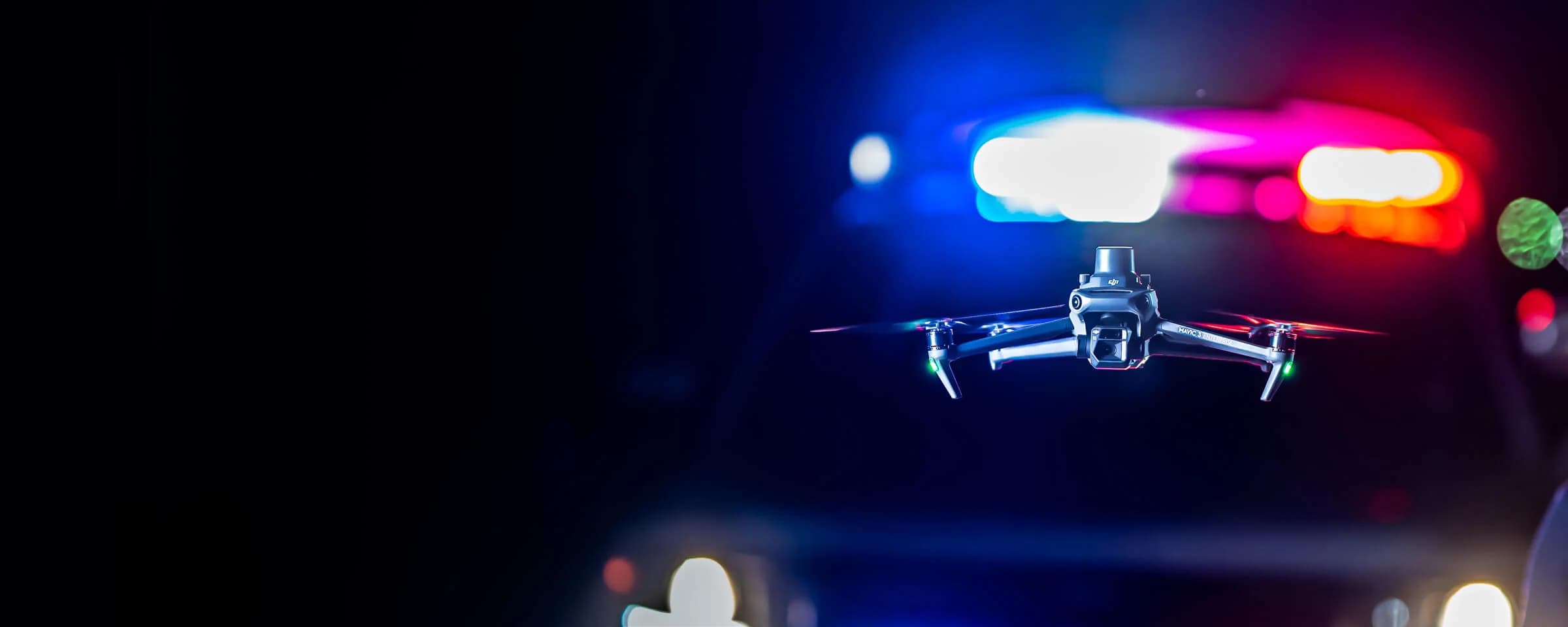
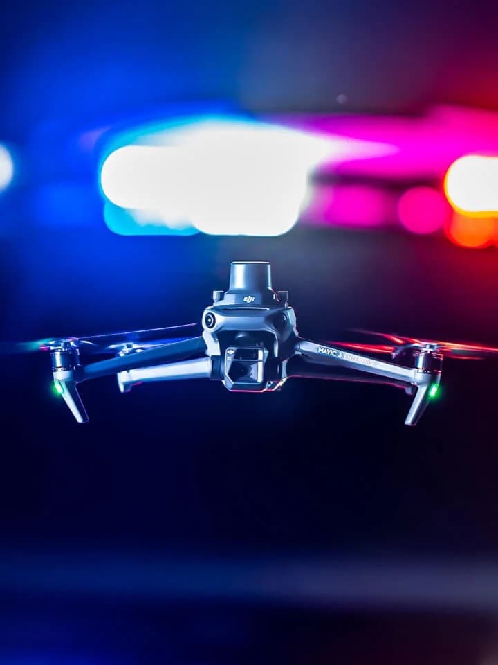
Portable and Fast Aerial Response
The Mavic 3T solution offers unparalleled portability for quick reconnaissance missions. Easy to carry on patrol vehicles and equipped with high-resolution visual and thermal sensors, it's an ideal solution for gaining intel on unexpected situations.
Thermal and visual sensors to gather comprehensive aerial intel for your missions.
Compact and lightweight design, less than 1kg and easy to carry in a patrol vehicle.
Fast and easy deployment, get airborne in around 30 seconds.
Superior flight performance with flight time of up to 45 min.


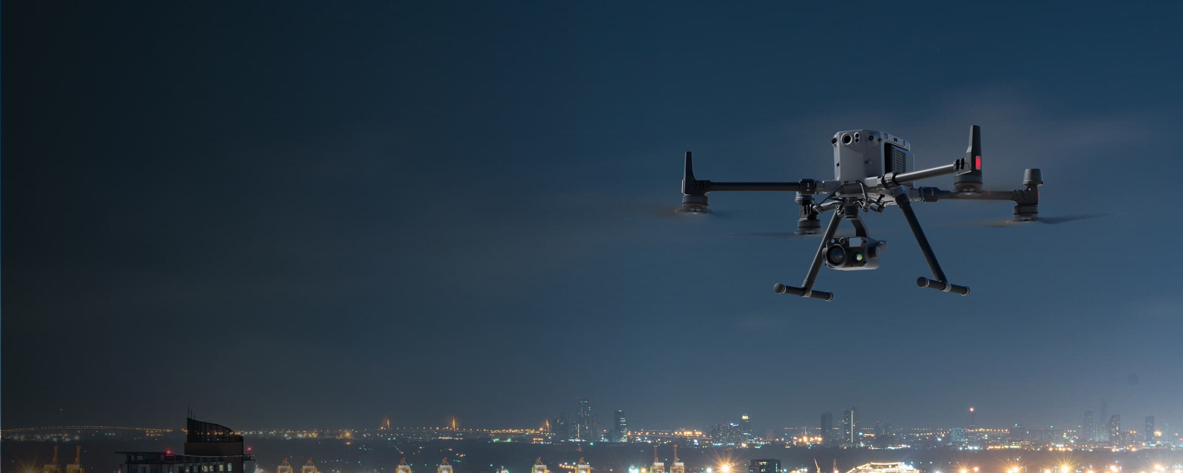
Outdoor Overwatch Day or Night
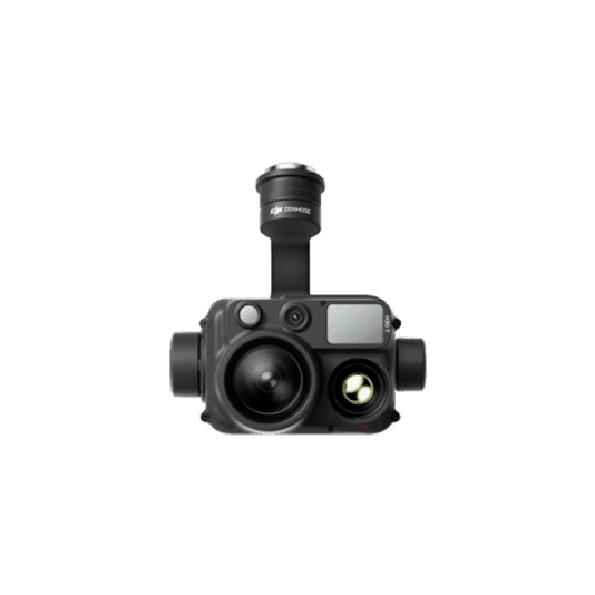
The Matrice 350 RTK sets the standard for high-performance, multipurpose drone solutions. Equipped with the Zenmuse H30T multi-sensor payload, which includes zoom, wide, and thermal cameras, it provides optimal performance for law enforcement overwatch operations, day or night.
Robust and weatherproof airframe graded IP55, allows you to fly when is most needed.
Night Scene Mode and NIR Auxiliary Light features for night operations.
Optimal operational efficiency with extended flight time of up to 55 min.
Laser detection range up to 3,000 meters to get the accurate location of points of interest.
Drone Platform
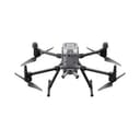
The upgraded flagship drone platform, Matrice 350 RTK, sets a new benchmark for the industry. This next-generation drone platform features an all-new video transmission system and control experience, a more efficient battery system, enhanced safety features, and powerful expansion and payload capabilities. It is fully equipped to bring creative power to any aerial operation.
Xem thêm