Collision Reconstruction and Forensics
Clear roads faster with efficient and accurate drone-based data collection and reconstruction. Ensure personnel safety and digitize your forensics process.
Disadvantages
Advantages
Solution
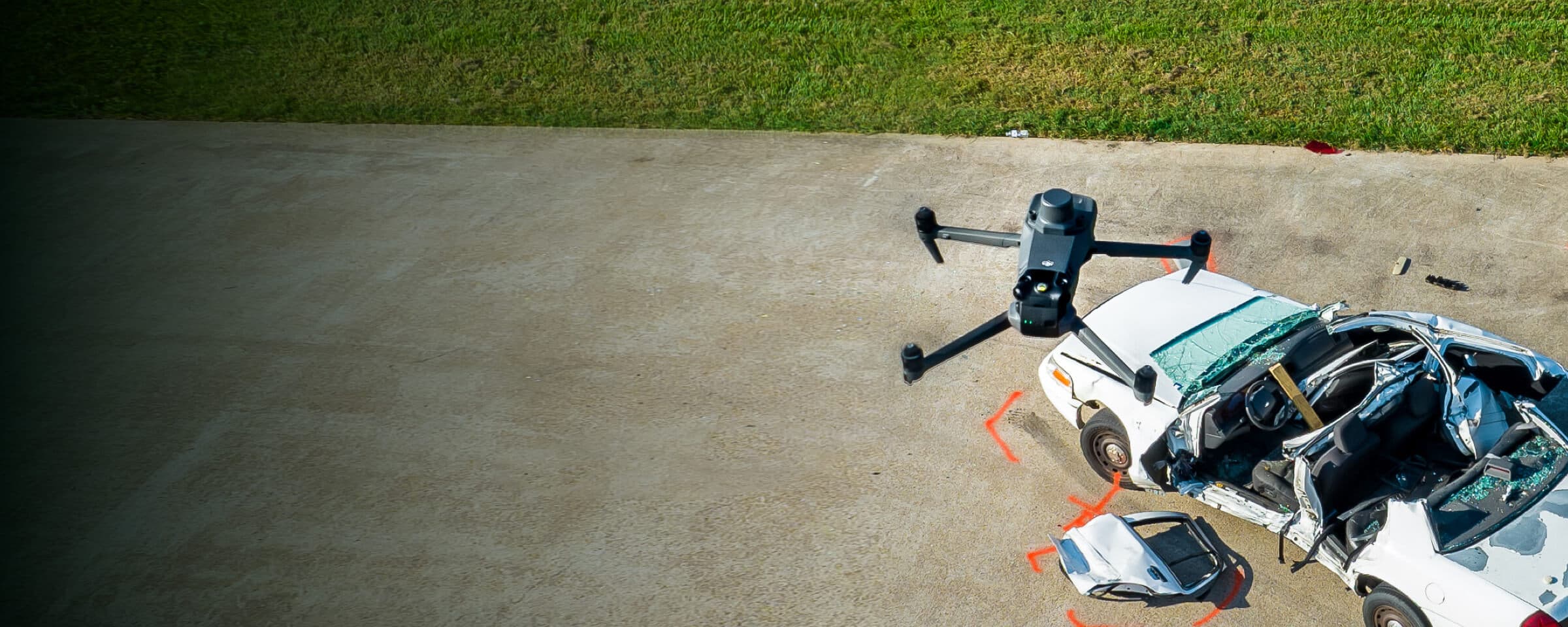
Portable Scene Reconstruction
The Mavic 3E offers unparalleled portability for quick reconstruction missions. Easy to carry in patrol vehicles and equipped with a 20MP camera and RTK module, it's an ideal solution for fast but accurate scene reconstruction. Paired with DJI Terra and DJI Modify, it can create realistic 3D models to serve as evidence or for forensic analysis.
20MP 4/3 CMOS Sensor for high-quality reconstruccion models.
Compact and lightweight design, less than 1kg and easy to carry in a patrol vehicle.
Fast and easy deployment, get airborne in around 30 seconds.
Mechanical shutter with 0.7s interval to improve efficiency and reduce data collection times.
Automated mapping mission modes to optimize data collection.


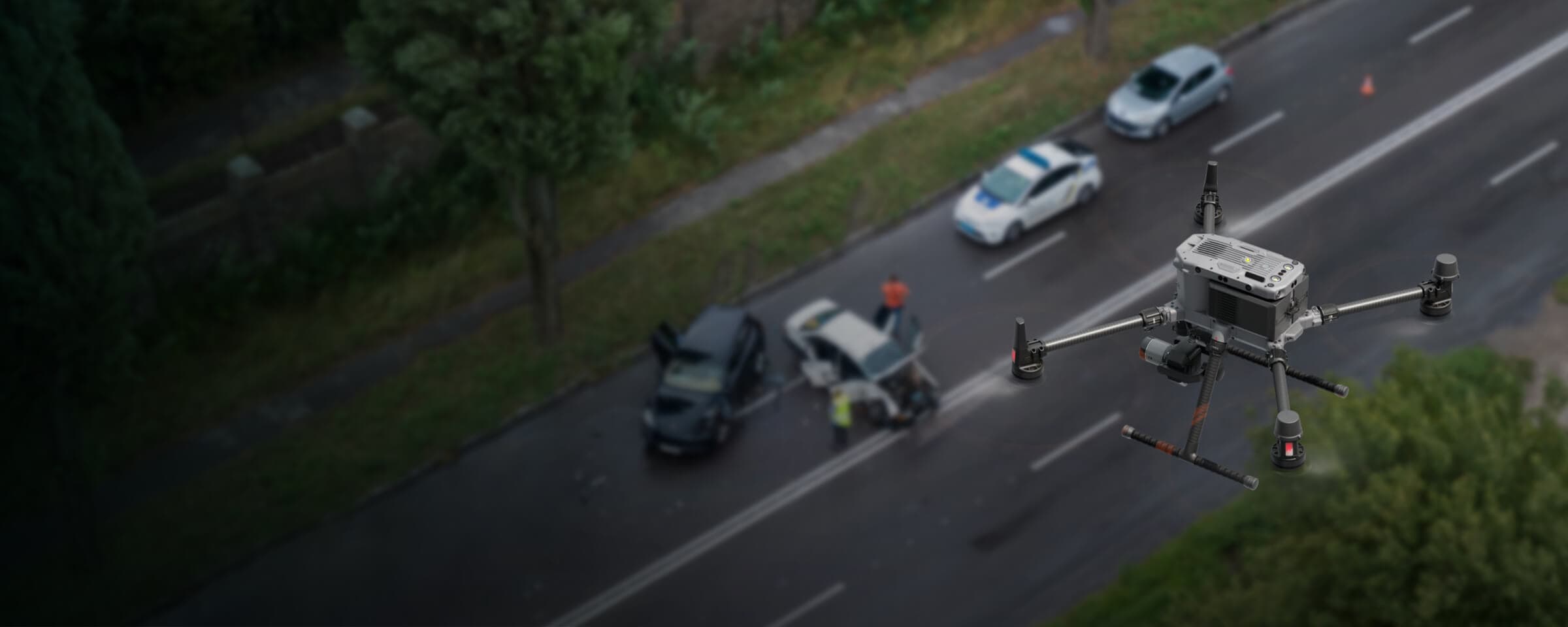
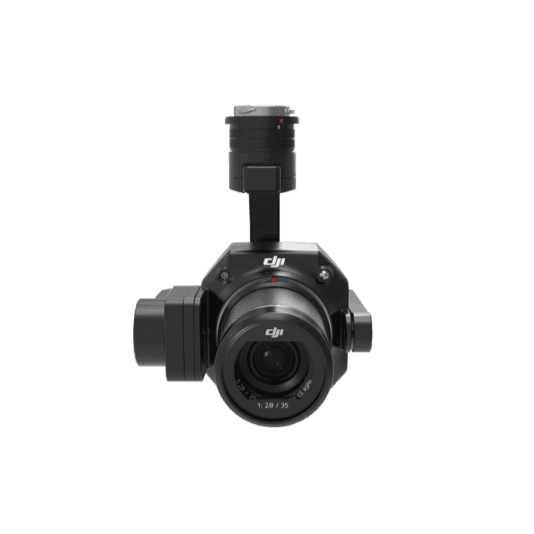
Large Scale Scene Reconstruction
The Matrice 350 RTK, equipped with the Zenmuse P1, allows law enforcement and forensic teams to map vast incident areas with great quality and accuracy. Process the collected data with DJI Terra and DJI Modify for optimal processing efficiency and modeling quality.
Reliable multipurpose drone platform for reconstruction missions in challenging conditions.
Zenmuse P1 has a 45MP, full-frame sensor to ensure high-quality data collection.
Generate accurate centimeter-level deliverables.
Field-work efficiency—covers 3 km² per flight, delivering a 5cm GSD.
Drone Platform
The upgraded flagship drone platform, Matrice 350 RTK, sets a new benchmark for the industry. This next-generation drone platform features an all-new video transmission system and control experience, a more efficient battery system, enhanced safety features, and powerful expansion and payload capabilities. It is fully equipped to bring creative power to any aerial operation.
Xem thêm